UN/LOCODE hub · France
FRRTT

Megrit

48.4500°, -2.3000°
673
Population
1
Transport functions

Transport Functions

Multimodal
UN/LOCODE

Hub Profile

Place type
Populated place
GeoNames
Region
Brittany
GeoNames
Population
673
GeoNames
Time zone
Europe/Paris
GeoNames
Elevation
94 m
GeoNames

Location

Location of FRRTT
Natural Earth 10m (public domain) · Brittany · FRRTT · 48.45, -2.30GoogleOSMYandex

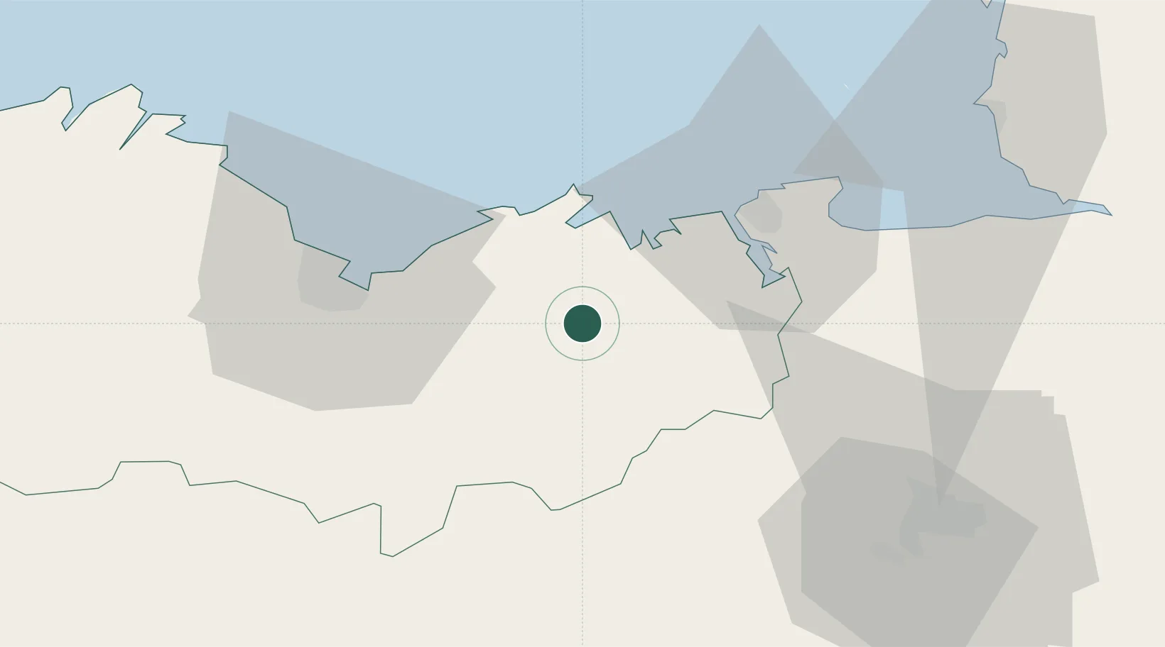
Nearby Logistics Neighbours

Cities
  1. 1Bourseul4 km
  2. 2Plancoët10 km
  3. 3La Chapelle-Janson11 km
  4. 4Plestan12 km
  5. 5le Guildo14 km
Nearest neighbours — logibook spatial index (haversine) over the source coordinates
Ports
  1. 1Saint-Malo31 km
  2. 2Le Legue34 km
  3. 3Paimpol66 km
  4. 4Granville67 km
  5. 5Pontrieux69 km
Nearest neighbours — logibook spatial index (haversine) over the source coordinates
Airports
  1. 1Dinard Pleurtuit Saint-Malo airport22 km
  2. 2Saint-Brieuc-Armor Airport42 km
  3. 3Rennes-Saint-Jacques Airport60 km
  4. 4Granville Airport72 km
  5. 5Jersey Airport85 km
Nearest neighbours — logibook spatial index (haversine) over the source coordinates
Trade Zones
  1. 1ZFU Saint-Nazaire131 km
  2. 2ZFU Cherbourg-Octeville140 km
  3. 3ZFU Nantes et Saint-Herblain143 km
  4. 4ZFU La Guérinière, La Grâce de Dieu161 km
  5. 5ZFU Hérouville-Saint-Clair166 km
Nearest neighbours — logibook spatial index (haversine) over the source coordinates
DatabookThe Record of Consolidated Knowledge
France beyond logistics?
Browse databook

All Sources

LocationsUN/LOCODE
UN/LOCODE — free
LocationsGeoNames
CC BY 4.0
Portsthe NGA World Port Index
Public domain (US gov)
AirportsOurAirports
Public domain
Trade Zonesthe World Bank SEZ database
CC BY 4.0
Trade ZonesOpen Zone Map
CC BY
← France locations