Transport Functions
Road
Multimodal
Hub Profile
Place type
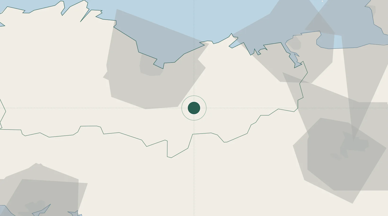
Populated place
Region
Brittany
Population
973
Time zone
Europe/Paris
Elevation
243 m
Location
Nearby Logistics Neighbours
Ports
- 1Le Legue31 km
- 2Saint-Malo54 km
- 3Pontrieux65 km
- 4Paimpol67 km
- 5Lezardrieux69 km
Airports
Trade Zones
- 1ZFU Saint-Nazaire115 km
- 2ZFU Nantes et Saint-Herblain134 km
- 3ZFU Cherbourg-Octeville162 km
- 4ZFU Angers170 km
- 5ZFU La Guérinière, La Grâce de Dieu183 km
DatabookThe Record of Consolidated Knowledge
France beyond logistics?