Transport Functions
Road
Multimodal
Hub Profile
Place type
Populated place
Region
Bourgogne
Population
202
Time zone
Europe/Paris
Elevation
240 m
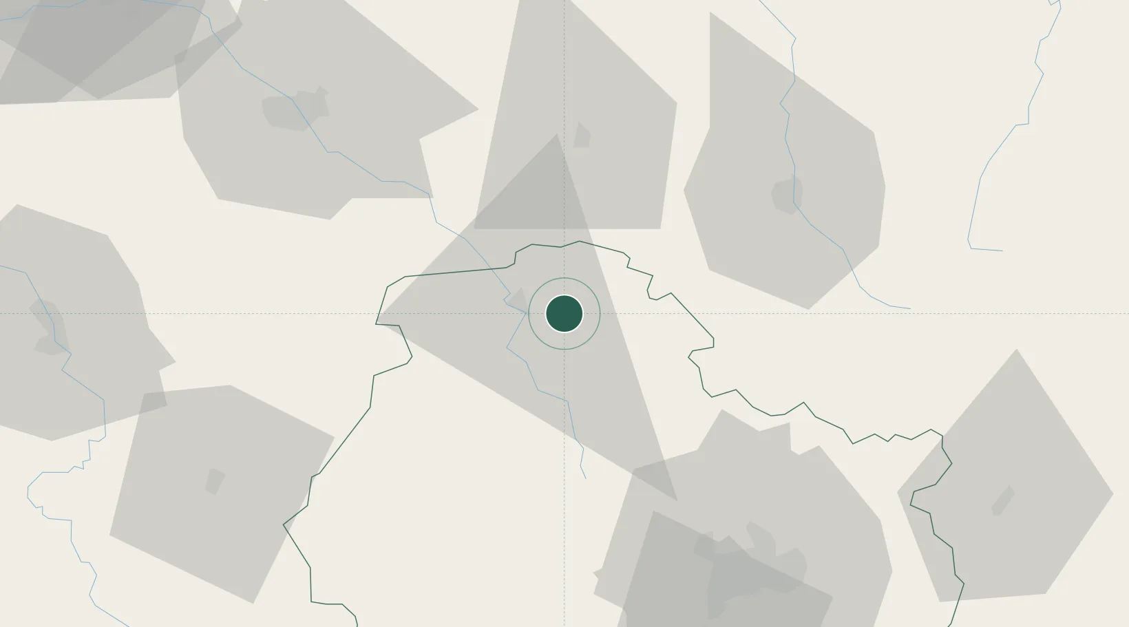
Location
Nearby Logistics Neighbours
Cities
- 1Mosson6 km
- 2Massingy6 km
- 3Cérilly12 km
- 4Grancey-sur-Ource16 km
- 5Gomméville17 km
Ports
- 1Port Of Rouen318 km
- 2Bruxelles334 km
- 3Saint-Valery-Sur-Somme340 km
- 4Le Treport343 km
- 5Dieppe348 km
Airports
- 1Troyes-Barberey Airport70 km
- 2Dijon Longvic airport74 km
- 3Saint-Dizier – Robinson Air Base87 km
- 4Auxerre Branches airport87 km
- 5Chalons Vatry airport106 km
Trade Zones
- 1ZFU La Chapelle Saint-Luc, Les Noës-près-Troyes, Troyes, Sainte-Savine68 km
- 2ZFU Chenôve68 km
- 3ZFU Saint-Dizier86 km
- 4ZFU Sens110 km
- 5ZFU Besancon123 km
DatabookThe Record of Consolidated Knowledge
France beyond logistics?