Transport Functions
Multimodal
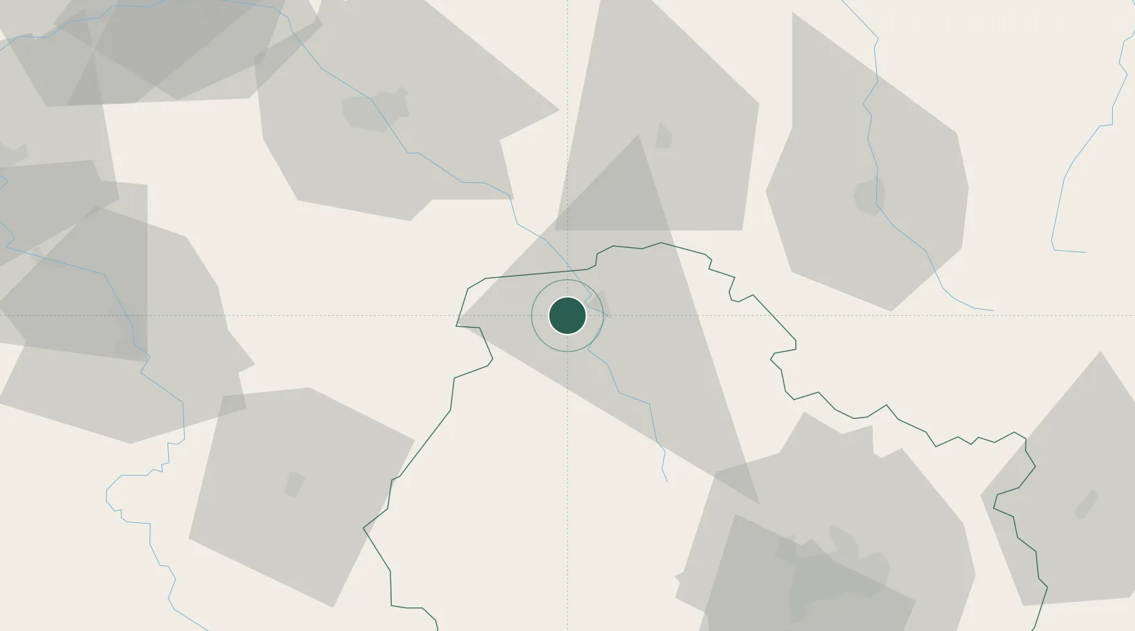
Hub Profile
Place type
Populated place
Region
Bourgogne
Population
241
Time zone
Europe/Paris
Elevation
229 m
Location
Nearby Logistics Neighbours
Cities
- 1Marcenay8 km
- 2Massingy8 km
- 3Gomméville11 km
- 4Villedieu11 km
- 5Mosson11 km
Ports
- 1Port Of Rouen308 km
- 2Saint-Valery-Sur-Somme332 km
- 3Bruxelles334 km
- 4Le Treport335 km
- 5Dieppe339 km
Airports
- 1Troyes-Barberey Airport62 km
- 2Auxerre Branches airport75 km
- 3Dijon Longvic airport80 km
- 4Saint-Dizier – Robinson Air Base91 km
- 5Chalons Vatry airport103 km
Trade Zones
DatabookThe Record of Consolidated Knowledge
France beyond logistics?