Transport Functions
Road
Multimodal
Hub Profile
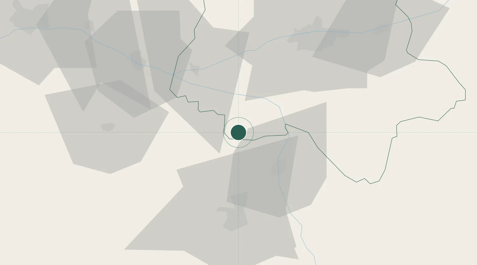
Place type
Populated place
Region
Centre-Val de Loire
Population
256
Time zone
Europe/Paris
Elevation
64 m
Location
Nearby Logistics Neighbours
Cities
- 1Braslou4 km
- 2Lémeré13 km
- 3Availles16 km
- 4Saint-Genest-d'Ambière17 km
- 5Scorbé-Clairvaux17 km
Ports
- 1La Rochelle147 km
- 2Nantes149 km
- 3La Pallice150 km
- 4Tonnay Charente150 km
- 5Rochefort153 km
Airports
- 1Poitiers-Biard Airport42 km
- 2Tours Val de Loire Airport59 km
- 3Angers Marcé airport84 km
- 4Niort - Marais Poitevin Airport93 km
- 5Châteauroux Déols airport104 km
Trade Zones
- 1ZFU Angers93 km
- 2ZFU Blois97 km
- 3ZFU Le Mans114 km
- 4ZFU Bourges149 km
- 5ZFU Orléans150 km
DatabookThe Record of Consolidated Knowledge
France beyond logistics?