Transport Functions
Rail
Road
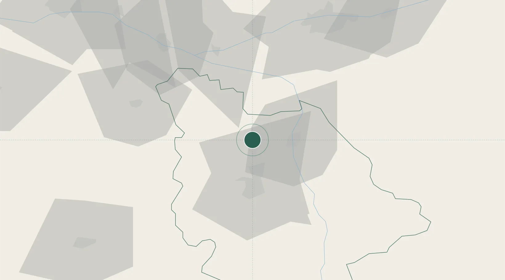
Hub Profile
Place type
Populated place
Region
Nouvelle-Aquitaine
Time zone
Europe/Paris
Elevation
114 m
Location
Nearby Logistics Neighbours
Cities
- 1Scorbé-Clairvaux5 km
- 2Marigny-Brizay8 km
- 3Availles11 km
- 4Beaumont11 km
- 5Châtellerault14 km
Ports
- 1La Rochelle137 km
- 2Tonnay Charente137 km
- 3Rochefort140 km
- 4La Pallice140 km
- 5Nantes151 km
Airports
- 1Poitiers-Biard Airport26 km
- 2Tours Val de Loire Airport74 km
- 3Niort - Marais Poitevin Airport80 km
- 4Angers Marcé airport97 km
- 5Châteauroux Déols airport105 km
Trade Zones
- 1ZFU Angers103 km
- 2ZFU Blois110 km
- 3ZFU Le Mans131 km
- 4ZFU La Rochelle140 km
- 5ZFU Bourges153 km
DatabookThe Record of Consolidated Knowledge
France beyond logistics?