Transport Functions
Multimodal
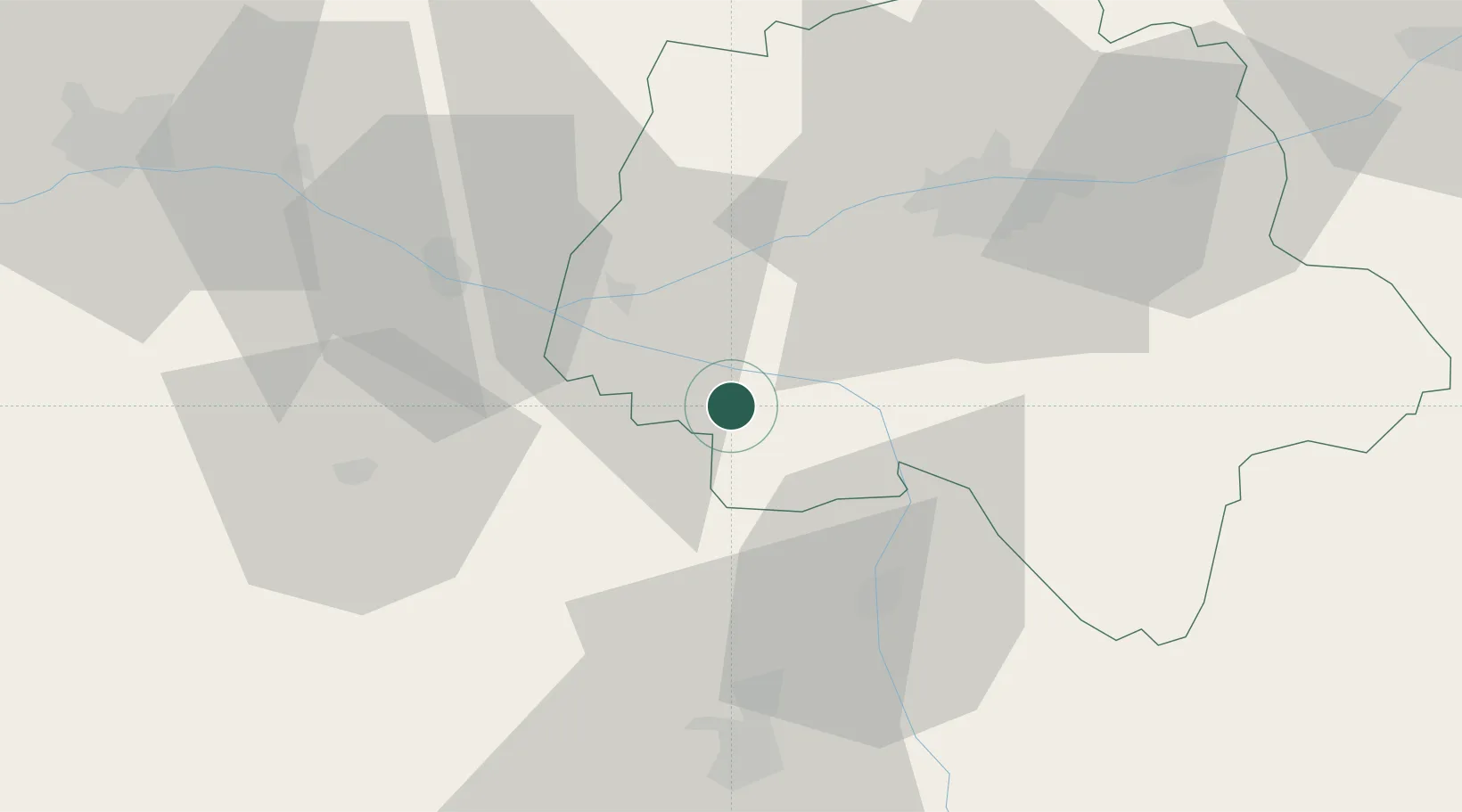
Hub Profile
Place type
Populated place
Region
Centre-Val de Loire
Population
385
Time zone
Europe/Paris
Elevation
93 m
Location
Nearby Logistics Neighbours
Ports
- 1Nantes144 km
- 2La Rochelle154 km
- 3La Pallice156 km
- 4Tonnay Charente159 km
- 5Rochefort161 km
Airports
- 1Tours Val de Loire Airport49 km
- 2Poitiers-Biard Airport55 km
- 3Angers Marcé airport72 km
- 4Le Mans-Arnage Airport97 km
- 5Niort - Marais Poitevin Airport102 km
Trade Zones
- 1ZFU Angers83 km
- 2ZFU Blois90 km
- 3ZFU Le Mans101 km
- 4ZFU Orléans143 km
- 5ZFU Alençon151 km
DatabookThe Record of Consolidated Knowledge
France beyond logistics?