Transport Functions
Road
Multimodal
Hub Profile
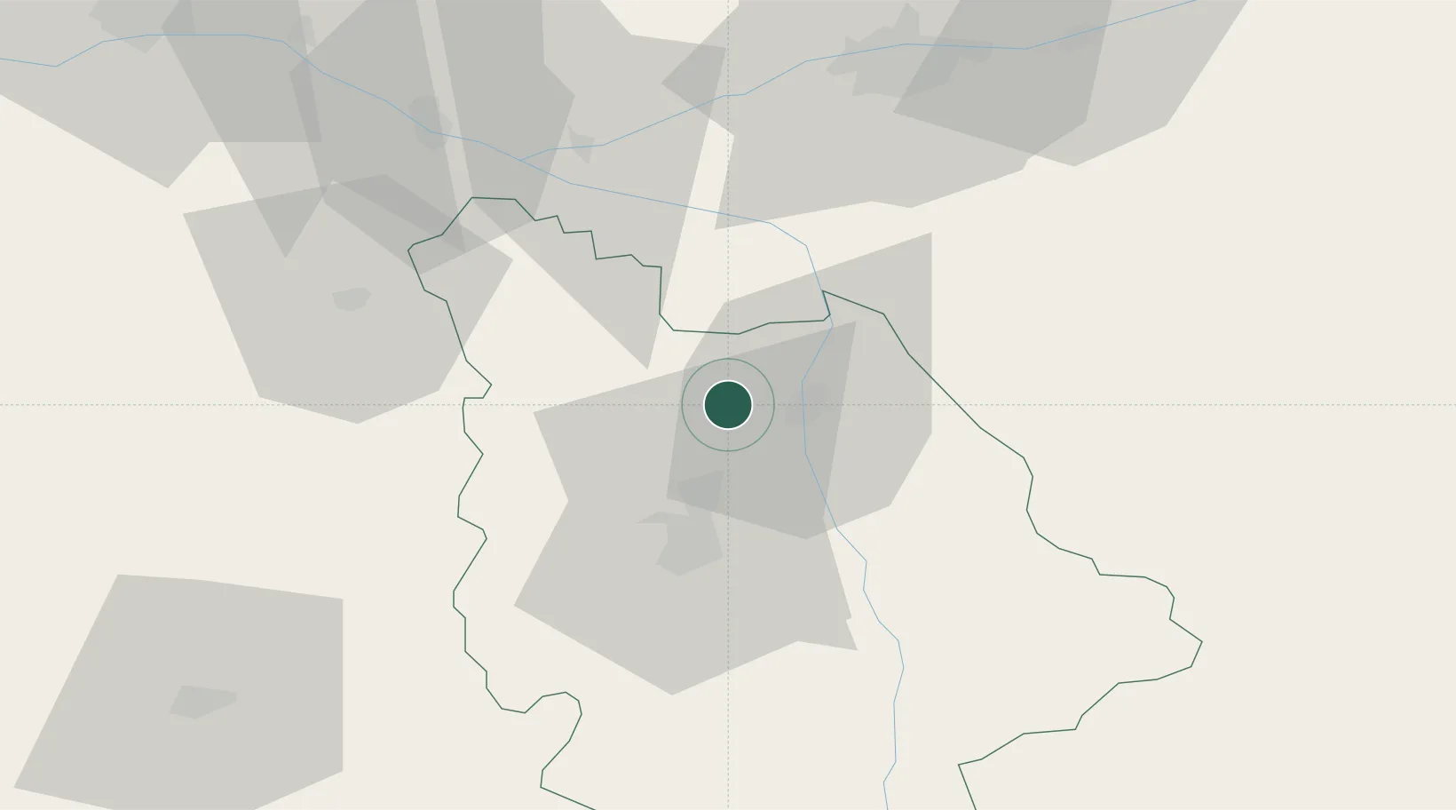
Place type
Populated place
Region
Nouvelle-Aquitaine
Population
2,288
Time zone
Europe/Paris
Elevation
94 m
Location
Nearby Logistics Neighbours
Cities
- 1Saint-Genest-d'Ambière5 km
- 2Availles6 km
- 3Marigny-Brizay8 km
- 4Châtellerault9 km
- 5Beaumont9 km
Ports
- 1Tonnay Charente141 km
- 2La Rochelle141 km
- 3Rochefort144 km
- 4La Pallice144 km
- 5Nantes156 km
Airports
- 1Poitiers-Biard Airport27 km
- 2Tours Val de Loire Airport72 km
- 3Niort - Marais Poitevin Airport84 km
- 4Angers Marcé airport99 km
- 5Châteauroux Déols airport100 km
Trade Zones
- 1ZFU Angers107 km
- 2ZFU Blois107 km
- 3ZFU Le Mans131 km
- 4ZFU La Rochelle144 km
- 5ZFU Bourges148 km
DatabookThe Record of Consolidated Knowledge
France beyond logistics?