Transport Functions
Road
Multimodal
Hub Profile
Place type
Populated place
Region
Nouvelle-Aquitaine
Time zone
Europe/Paris
Elevation
111 m
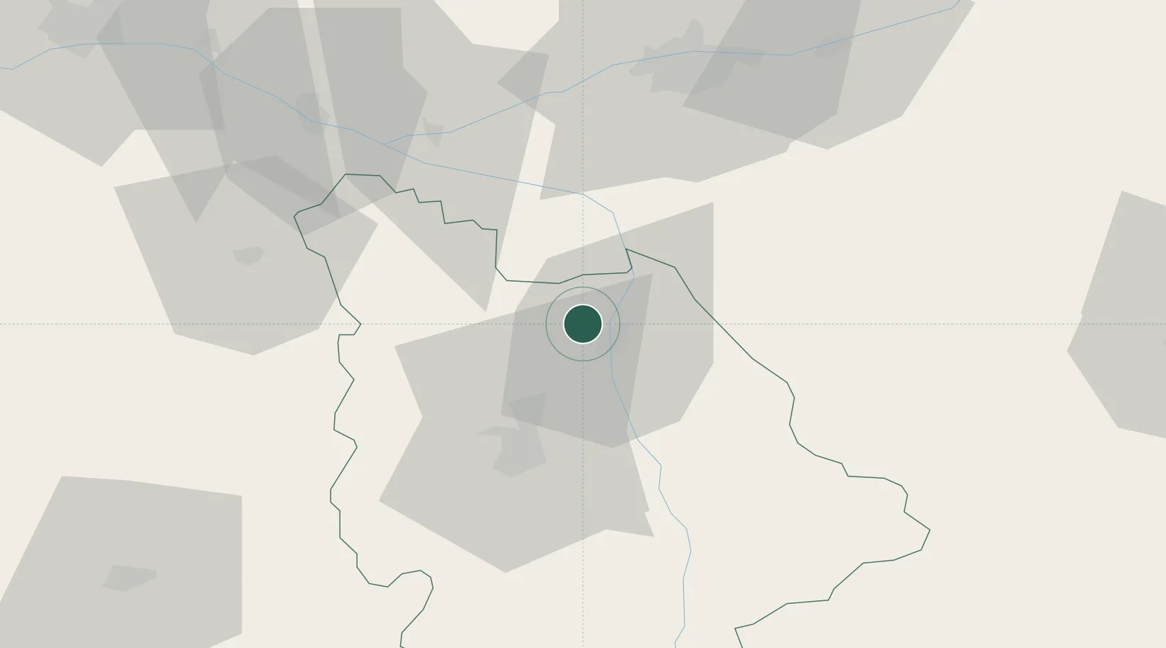
Location
Nearby Logistics Neighbours
Cities
- 1Scorbé-Clairvaux6 km
- 2Châtellerault7 km
- 3Saint-Genest-d'Ambière11 km
- 4Marigny-Brizay14 km
- 5Beaumont14 km
Ports
- 1Tonnay Charente147 km
- 2La Rochelle147 km
- 3Rochefort150 km
- 4La Pallice151 km
- 5Nantes160 km
Airports
Trade Zones
- 1ZFU Blois101 km
- 2ZFU Angers108 km
- 3ZFU Le Mans129 km
- 4ZFU Bourges142 km
- 5ZFU La Rochelle151 km
DatabookThe Record of Consolidated Knowledge
France beyond logistics?