Transport Functions
Multimodal
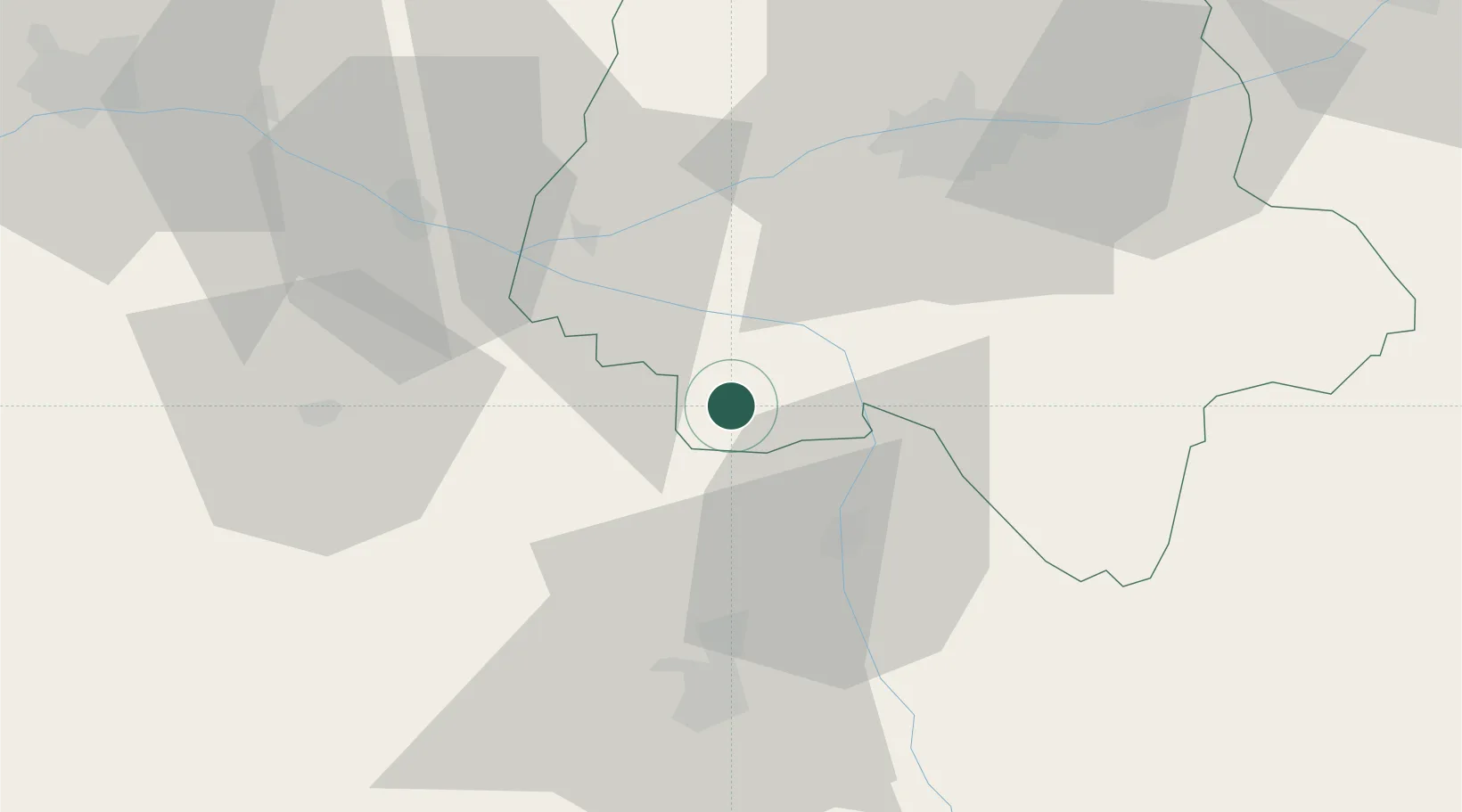
Hub Profile
Place type
Populated place
Region
Centre-Val de Loire
Population
339
Time zone
Europe/Paris
Elevation
82 m
Location
Nearby Logistics Neighbours
Cities
- 1Razines4 km
- 2Lémeré10 km
- 3Sazilly15 km
- 4Ligré16 km
- 5Port-de-Piles16 km
Ports
- 1Nantes149 km
- 2La Rochelle151 km
- 3La Pallice153 km
- 4Tonnay Charente154 km
- 5Rochefort157 km
Airports
- 1Poitiers-Biard Airport46 km
- 2Tours Val de Loire Airport55 km
- 3Angers Marcé airport82 km
- 4Niort - Marais Poitevin Airport97 km
- 5Châteauroux Déols airport103 km
Trade Zones
- 1ZFU Angers91 km
- 2ZFU Blois93 km
- 3ZFU Le Mans111 km
- 4ZFU Orléans147 km
- 5ZFU Bourges148 km
DatabookThe Record of Consolidated Knowledge
France beyond logistics?