Transport Functions
Rail
Road
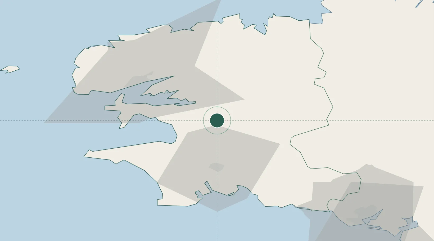
Hub Profile
Place type
Populated place
Region
Brittany
Population
492
Time zone
Europe/Paris
Elevation
10 m
Location
Nearby Logistics Neighbours
Cities
- 1Gouézec10 km
- 2Landevennec16 km
- 3Hopital-Camfrout17 km
- 4Irvillac19 km
- 5Logonna-Daoulas20 km
Ports
- 1Rade De Brest36 km
- 2Concarneau41 km
- 3Morlaix45 km
- 4Port De Roscoff-Bloscon58 km
- 5Lorient75 km
Airports
- 1Lanvéoc-Poulmic Air Base28 km
- 2Quimper-Cornouaille Airport28 km
- 3Landivisiau Air Base35 km
- 4Brest Bretagne airport36 km
- 5Morlaix-Ploujean Airport47 km
Trade Zones
- 1ZFU Saint-Nazaire171 km
- 2ZFU Nantes et Saint-Herblain210 km
- 3ZFU Cherbourg-Octeville237 km
- 4Oceansgate Plymouth240 km
- 5Heart of the South West Enterprise Zone242 km
DatabookThe Record of Consolidated Knowledge
France beyond logistics?