UN/LOCODE hub · France
FRHOP
Hopital-Camfrout
48.3333°, -4.2333°
1,751
Population
2
Transport functions
Transport Functions
Port
Road
Hub Profile
Place type
Populated place
Region
Brittany
Population
1,751
Time zone
Europe/Paris
Elevation
5 m
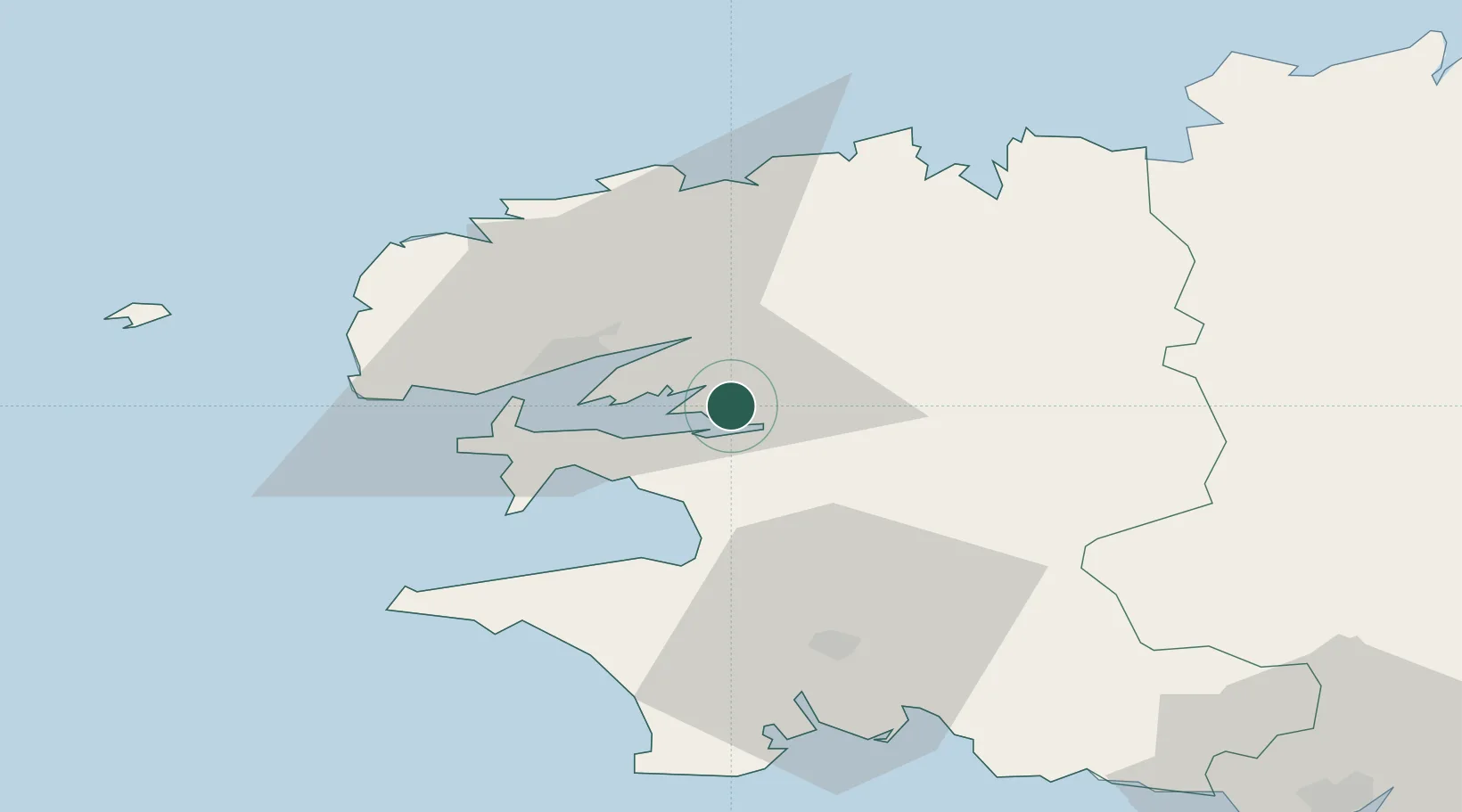
Location
Nearby Logistics Neighbours
Cities
- 1Irvillac4 km
- 2Landevennec5 km
- 3Logonna-Daoulas5 km
- 4Dirinon8 km
- 5Pencran11 km
Ports
- 1Rade De Brest21 km
- 2Morlaix41 km
- 3Port De Roscoff-Bloscon48 km
- 4Concarneau57 km
- 5Treguier89 km
Airports
- 1Lanvéoc-Poulmic Air Base17 km
- 2Brest Bretagne airport19 km
- 3Landivisiau Air Base23 km
- 4Quimper-Cornouaille Airport40 km
- 5Morlaix-Ploujean Airport43 km
Trade Zones
- 1ZFU Saint-Nazaire188 km
- 2ZFU Nantes et Saint-Herblain226 km
- 3Oceansgate Plymouth227 km
- 4Heart of the South West Enterprise Zone230 km
- 5ZFU Cherbourg-Octeville237 km
DatabookThe Record of Consolidated Knowledge
France beyond logistics?