Transport Functions
Port
Road
Hub Profile
Place type
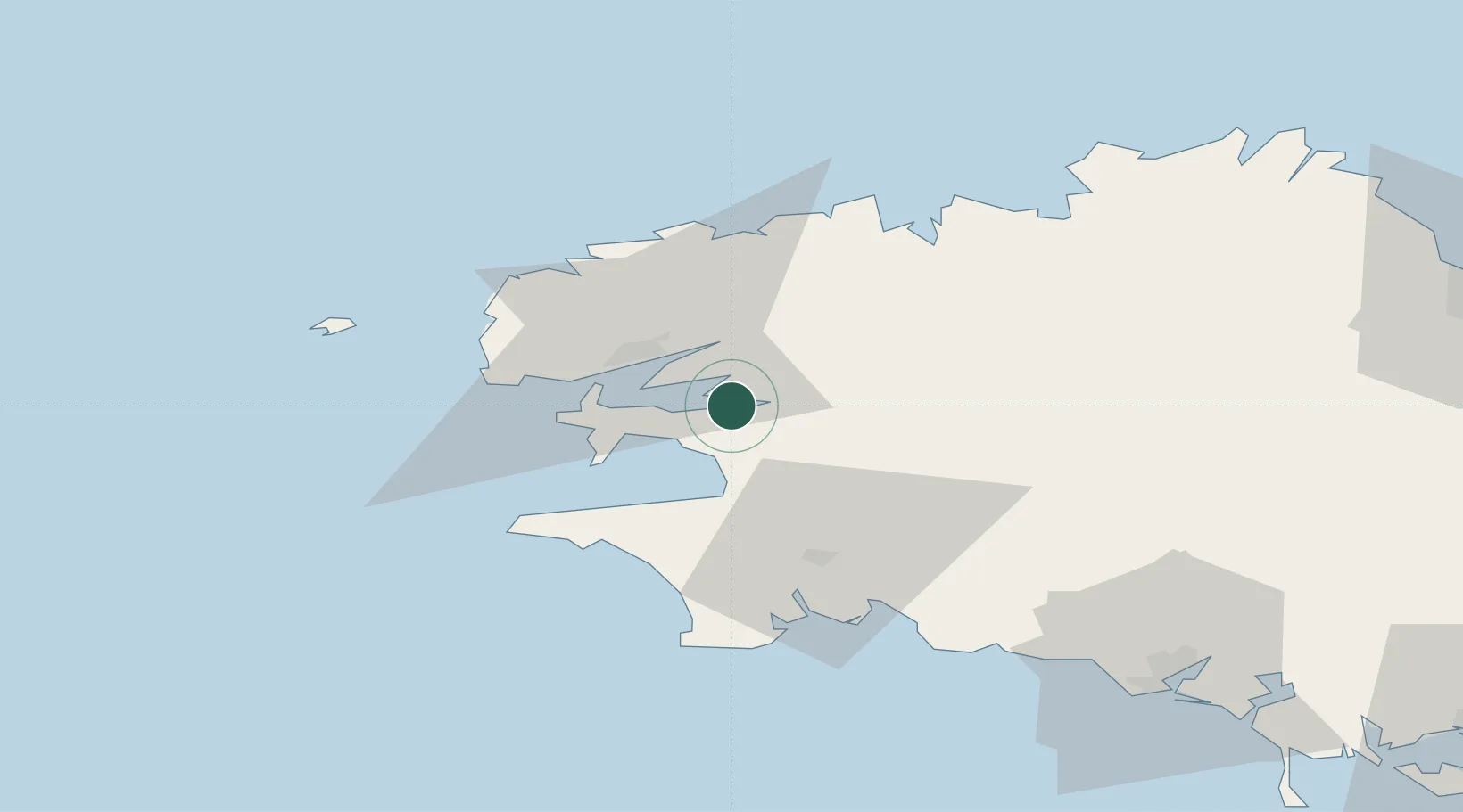
Populated place
Region
Brittany
Population
392
Time zone
Europe/Paris
Elevation
17 m
Location
Nearby Logistics Neighbours
Cities
- 1Logonna-Daoulas3 km
- 2Hopital-Camfrout5 km
- 3Irvillac8 km
- 4Dirinon11 km
- 5Le Passage13 km
Ports
- 1Rade De Brest20 km
- 2Morlaix45 km
- 3Port De Roscoff-Bloscon53 km
- 4Concarneau55 km
- 5Lorient92 km
Airports
- 1Lanvéoc-Poulmic Air Base13 km
- 2Brest Bretagne airport20 km
- 3Landivisiau Air Base27 km
- 4Quimper-Cornouaille Airport37 km
- 5Morlaix-Ploujean Airport47 km
Trade Zones
- 1ZFU Saint-Nazaire187 km
- 2ZFU Nantes et Saint-Herblain226 km
- 3Oceansgate Plymouth230 km
- 4Heart of the South West Enterprise Zone233 km
- 5ZFU Cherbourg-Octeville241 km
DatabookThe Record of Consolidated Knowledge
France beyond logistics?