Transport Functions
Rail
Road
Hub Profile
Place type
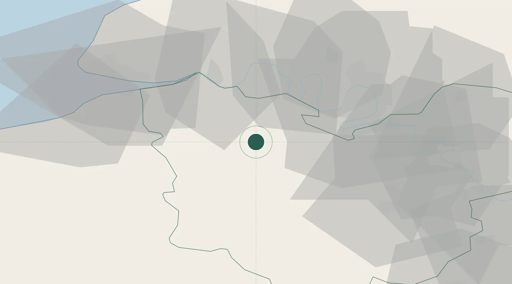
Populated place
Region
Normandy
Population
711
Time zone
Europe/Paris
Elevation
132 m
Location
Nearby Logistics Neighbours
Cities
- 1Épreville-en-Roumois9 km
- 2Berthouville9 km
- 3Illeville-sur-Montfort10 km
- 4Bourg-Achard14 km
- 5Nassandres15 km
Ports
- 1Port Of Rouen35 km
- 2Honfleur40 km
- 3Deauville47 km
- 4Port Of Le Havre50 km
- 5Fecamp62 km
Airports
Trade Zones
- 1ZFU Rouen Bihorel37 km
- 2ZFU Évreux41 km
- 3ZFU Le Havre51 km
- 4ZFU Dreux et Sainte-Gemme-Moronval75 km
- 5ZFU Hérouville-Saint-Clair76 km
DatabookThe Record of Consolidated Knowledge
France beyond logistics?