UN/LOCODE hub · France
FRIMF

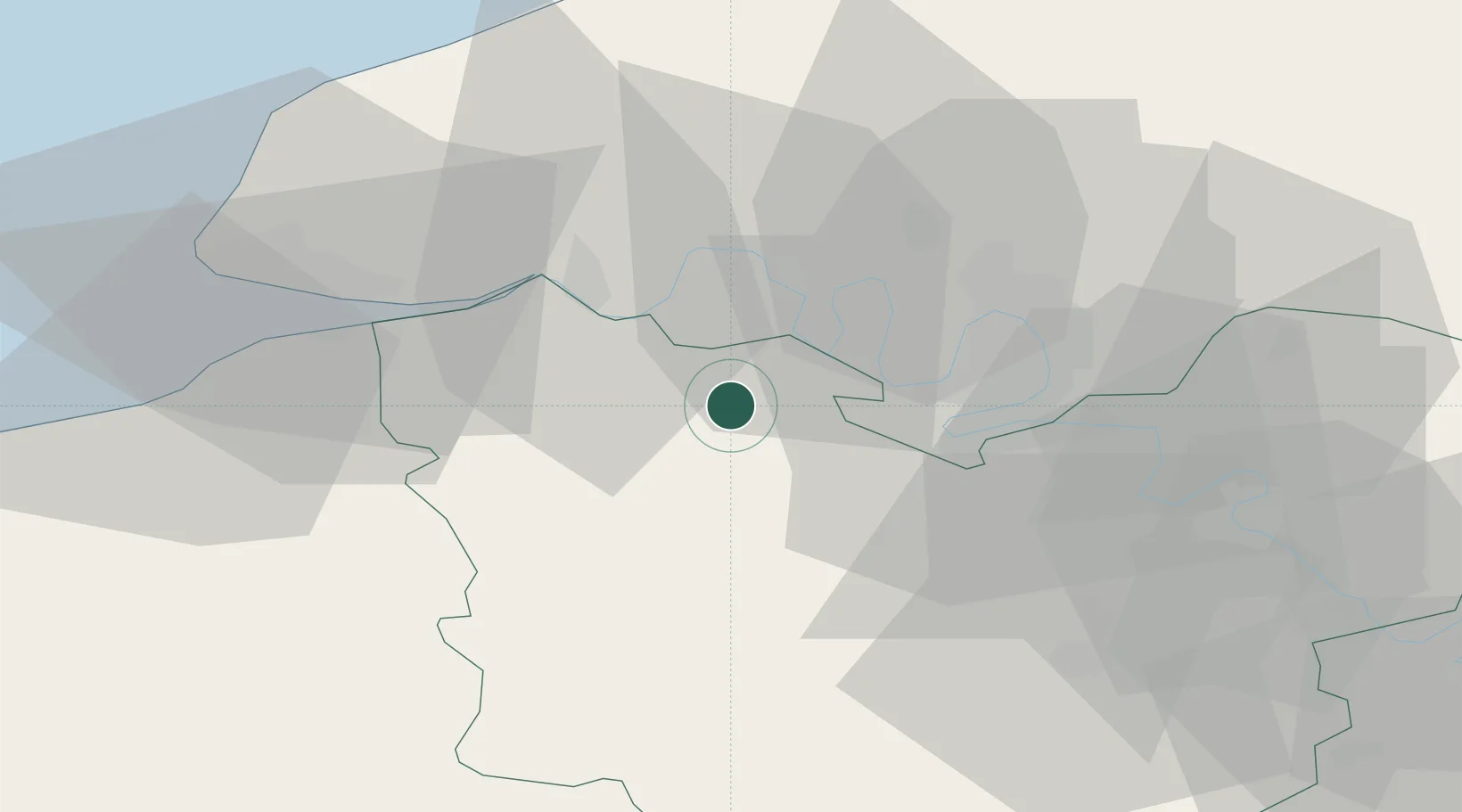
Illeville-sur-Montfort

49.3333°, 0.7333°
702
Population
2
Transport functions

Transport Functions

Road
Multimodal
UN/LOCODE

Hub Profile

Place type
Populated place
GeoNames
Region
Normandy
GeoNames
Population
702
GeoNames
Time zone
Europe/Paris
GeoNames
Elevation
126 m
GeoNames

Location

Location of FRIMF
Natural Earth 10m (public domain) · Normandy · FRIMF · 49.33, 0.73GoogleOSMYandex

Nearby Logistics Neighbours

Cities
  1. 1Épreville-en-Roumois3 km
  2. 2Bourg-Achard6 km
  3. 3Pont-Authou10 km
  4. 4Formigny12 km
  5. 5Yainville15 km
Nearest neighbours — logibook spatial index (haversine) over the source coordinates
Ports
  1. 1Port Of Rouen27 km
  2. 2Honfleur39 km
  3. 3Deauville47 km
  4. 4Port Of Le Havre48 km
  5. 5Fecamp55 km
Nearest neighbours — logibook spatial index (haversine) over the source coordinates
Airports
  1. 1Rouen Vallée de Seine Airport33 km
  2. 2Deauville Normandie airport42 km
  3. 3Évreux-Fauville (BA 105) Air Base49 km
  4. 4Le Havre-Octeville Airport52 km
  5. 5Caen Carpiquet airport88 km
Nearest neighbours — logibook spatial index (haversine) over the source coordinates
Trade Zones
  1. 1ZFU Rouen Bihorel30 km
  2. 2ZFU Évreux46 km
  3. 3ZFU Le Havre48 km
  4. 4ZFU Hérouville-Saint-Clair80 km
  5. 5ZFU Dreux et Sainte-Gemme-Moronval80 km
Nearest neighbours — logibook spatial index (haversine) over the source coordinates
DatabookThe Record of Consolidated Knowledge
France beyond logistics?
Browse databook

All Sources

LocationsUN/LOCODE
UN/LOCODE — free
LocationsGeoNames
CC BY 4.0
Portsthe NGA World Port Index
Public domain (US gov)
AirportsOurAirports
Public domain
Trade Zonesthe World Bank SEZ database
CC BY 4.0
Trade ZonesOpen Zone Map
CC BY
← France locations