UN/LOCODE hub · France
FREVM
Épreville-en-Roumois
49.3167°, 0.7667°
342
Population
2
Transport functions
Transport Functions
Road
Multimodal
Hub Profile
Place type
Populated place
Region
Normandy
Population
342
Time zone
Europe/Paris
Elevation
129 m
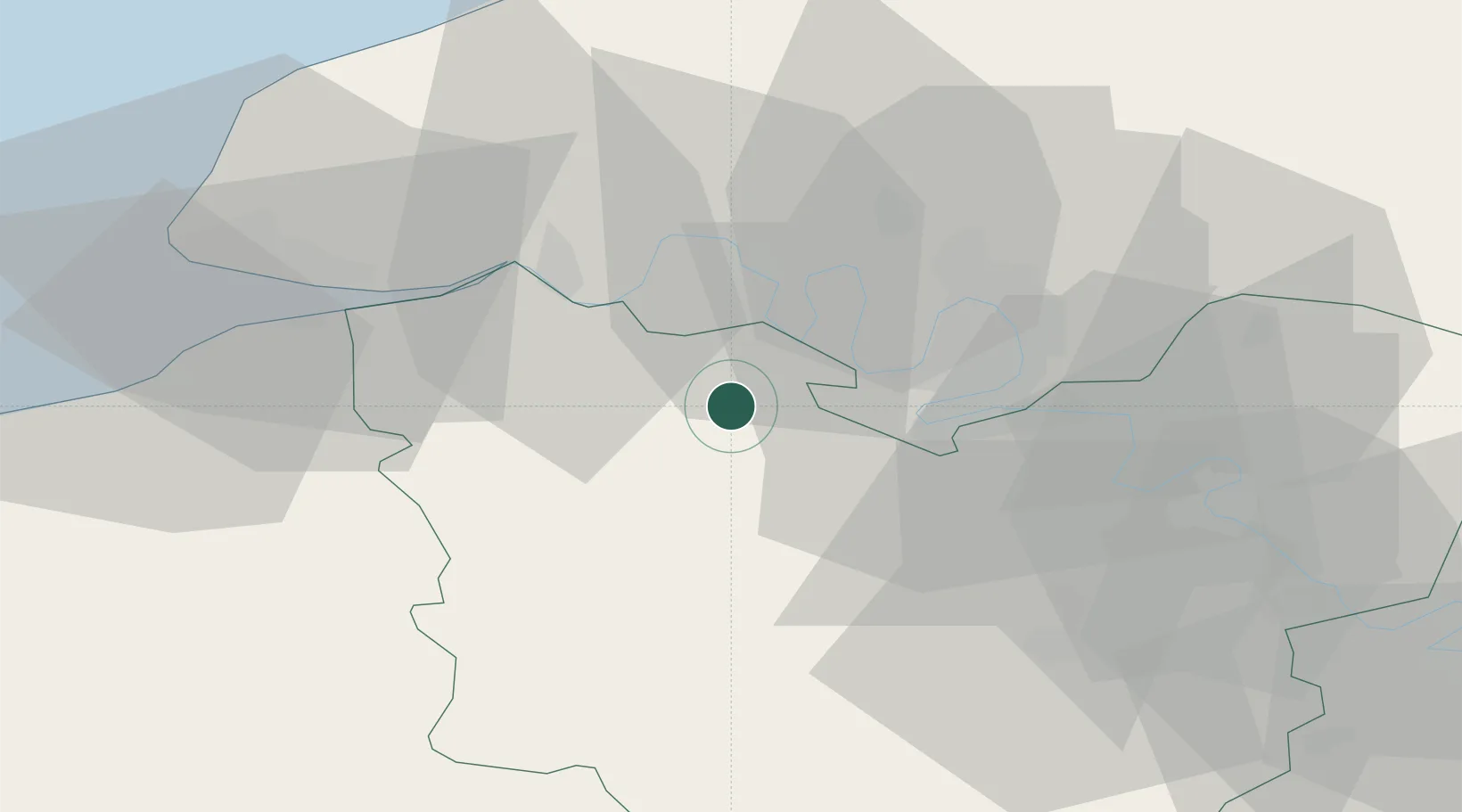
Location
Nearby Logistics Neighbours
Cities
- 1Illeville-sur-Montfort3 km
- 2Bourg-Achard5 km
- 3Pont-Authou9 km
- 4Formigny10 km
- 5Saint-Pierre-de-Manneville15 km
Ports
- 1Port Of Rouen26 km
- 2Honfleur41 km
- 3Deauville50 km
- 4Port Of Le Havre51 km
- 5Fecamp58 km
Airports
Trade Zones
- 1ZFU Rouen Bihorel29 km
- 2ZFU Évreux43 km
- 3ZFU Le Havre51 km
- 4ZFU Dreux et Sainte-Gemme-Moronval77 km
- 5ZFU Mantes-la-Jolie78 km
DatabookThe Record of Consolidated Knowledge
France beyond logistics?