Transport Functions
Multimodal
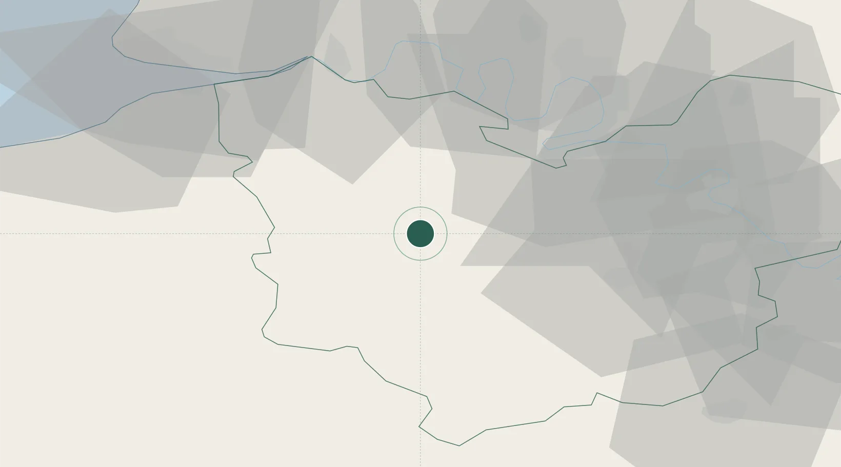
Hub Profile
Place type
Populated place
Region
Normandy
Population
1,468
Time zone
Europe/Paris
Elevation
73 m
Location
Nearby Logistics Neighbours
Cities
- 1Berthouville10 km
- 2Bernay12 km
- 3Pont-Authou15 km
- 4Saint-Vincent-du-Boulay18 km
- 5Bazoques20 km
Ports
- 1Port Of Rouen44 km
- 2Honfleur50 km
- 3Deauville55 km
- 4Port Of Le Havre61 km
- 5Ouistreham74 km
Airports
Trade Zones
- 1ZFU Évreux32 km
- 2ZFU Rouen Bihorel47 km
- 3ZFU Le Havre62 km
- 4ZFU Dreux et Sainte-Gemme-Moronval62 km
- 5ZFU Mantes-la-Jolie73 km
DatabookThe Record of Consolidated Knowledge
France beyond logistics?