Transport Functions
Multimodal
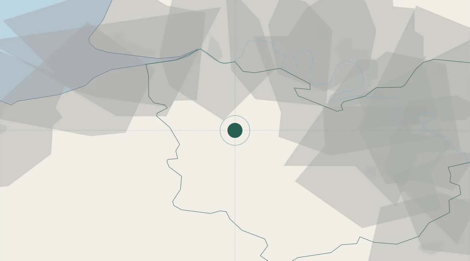
Hub Profile
Place type
Populated place
Region
Normandy
Population
277
Time zone
Europe/Paris
Elevation
159 m
Location
Nearby Logistics Neighbours
Cities
- 1Pont-Authou9 km
- 2Nassandres10 km
- 3Bazoques11 km
- 4Bernay12 km
- 5Saint-Vincent-du-Boulay14 km
Ports
- 1Honfleur40 km
- 2Port Of Rouen43 km
- 3Deauville45 km
- 4Port Of Le Havre50 km
- 5Ouistreham65 km
Airports
Trade Zones
- 1ZFU Évreux42 km
- 2ZFU Rouen Bihorel46 km
- 3ZFU Le Havre51 km
- 4ZFU Hérouville-Saint-Clair72 km
- 5ZFU Dreux et Sainte-Gemme-Moronval73 km
DatabookThe Record of Consolidated Knowledge
France beyond logistics?