Transport Functions
Rail
Road
Hub Profile
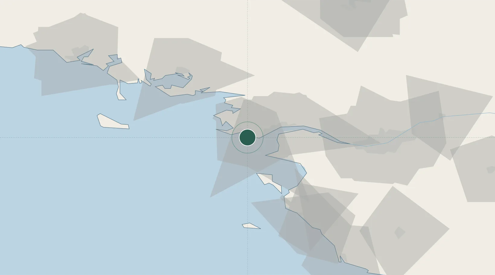
Place type
Populated place
Region
Pays de la Loire
Population
10,584
Time zone
Europe/Paris
Elevation
7 m
Location
Nearby Logistics Neighbours
Cities
- 1La Baule-Escoublac5 km
- 2Saint-André-des-Eaux8 km
- 3Guérande11 km
- 4Batz-sur-Mer11 km
- 5Le Quesne12 km
Ports
- 1St Nazaire12 km
- 2Montoir17 km
- 3Donges22 km
- 4Nantes59 km
- 5Les Sables D' Olonne93 km
Airports
Trade Zones
- 1ZFU Saint-Nazaire7 km
- 2ZFU Nantes et Saint-Herblain49 km
- 3ZFU Angers134 km
- 4ZFU La Rochelle149 km
- 5ZFU Le Mans203 km
DatabookThe Record of Consolidated Knowledge
France beyond logistics?