UN/LOCODE hub · France
FROBC
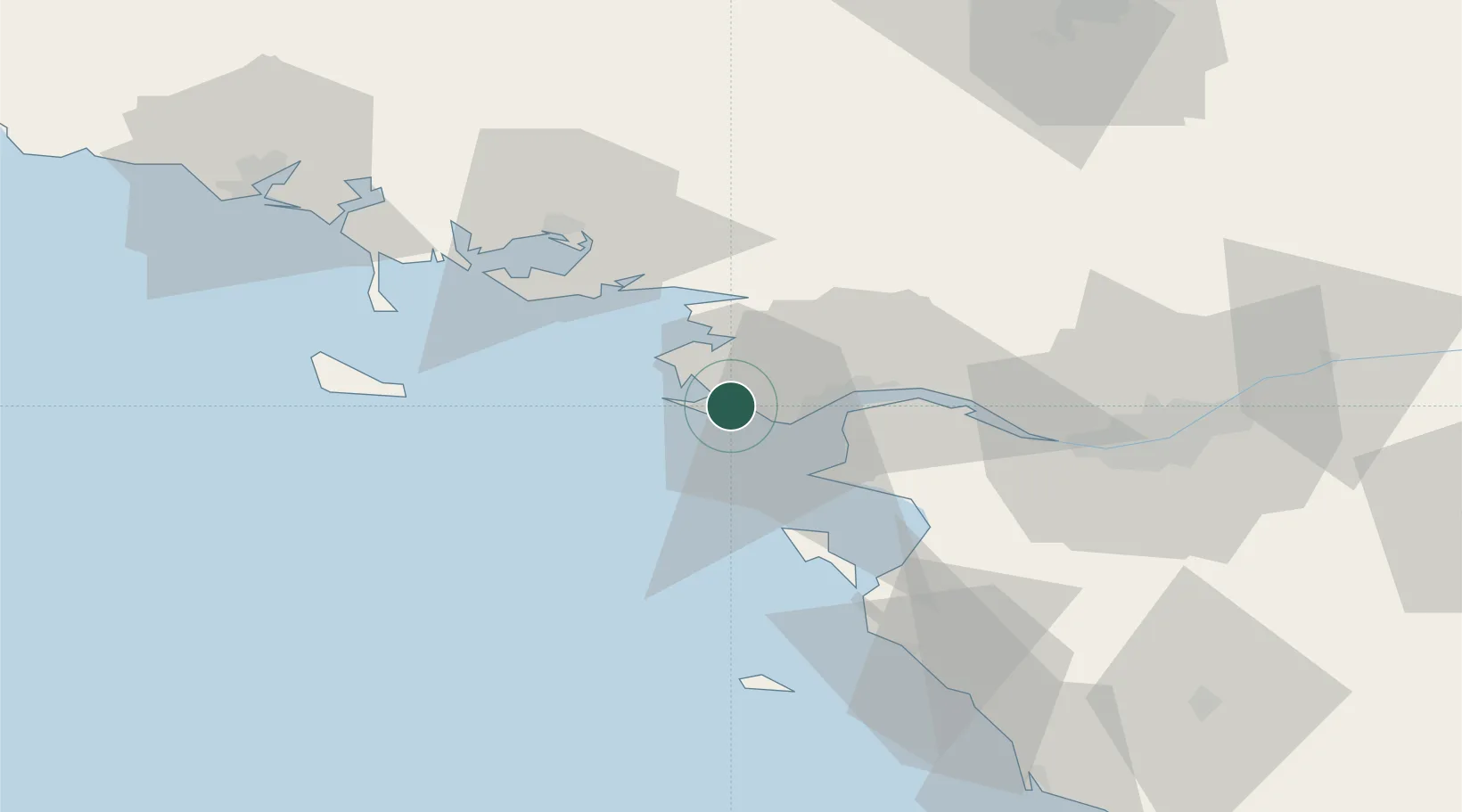
La Baule-Escoublac
47.2833°, -2.4000°
17,775
Population
3
Transport functions
Transport Functions
Rail
Road
Multimodal
Hub Profile
Place type
Populated place
Region
Pays de la Loire
Population
17,775
Time zone
Europe/Paris
Elevation
28 m
Location
Nearby Logistics Neighbours
Cities
- 1Pornichet5 km
- 2Guérande6 km
- 3Batz-sur-Mer6 km
- 4Saint-André-des-Eaux7 km
- 5Le Quesne8 km
Ports
- 1St Nazaire15 km
- 2Montoir20 km
- 3Donges25 km
- 4Nantes64 km
- 5Lorient88 km
Airports
Trade Zones
- 1ZFU Saint-Nazaire10 km
- 2ZFU Nantes et Saint-Herblain53 km
- 3ZFU Angers138 km
- 4ZFU La Rochelle154 km
- 5ZFU Le Mans205 km
DatabookThe Record of Consolidated Knowledge
France beyond logistics?