UN/LOCODE hub · France
FRAEX

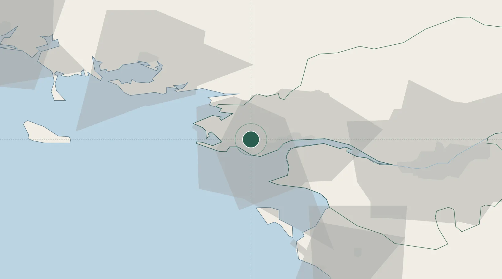
Saint-André-des-Eaux

47.3167°, -2.3167°
3,873
Population
2
Transport functions

Transport Functions

Road
Multimodal
UN/LOCODE

Hub Profile

Place type
Populated place
GeoNames
Region
Pays de la Loire
GeoNames
Population
3,873
GeoNames
Time zone
Europe/Paris
GeoNames
Elevation
20 m
GeoNames

Location

Location of FRAEX
Natural Earth 10m (public domain) · Pays de la Loire · FRAEX · 47.32, -2.32GoogleOSMYandex

Nearby Logistics Neighbours

Cities
  1. 1La Baule-Escoublac7 km
  2. 2Guérande8 km
  3. 3Pornichet8 km
  4. 4Saint-Nazaire10 km
  5. 5Trignac10 km
Nearest neighbours — logibook spatial index (haversine) over the source coordinates
Ports
  1. 1St Nazaire10 km
  2. 2Montoir14 km
  3. 3Donges19 km
  4. 4Nantes58 km
  5. 5Lorient91 km
Nearest neighbours — logibook spatial index (haversine) over the source coordinates
Airports
  1. 1La Baule-Escoublac Airport4 km
  2. 2Saint-Nazaire-Montoir Airport12 km
  3. 3Beauvoir Fromentine Airfield50 km
  4. 4Vannes-Meucon Airport54 km
  5. 5Nantes Atlantique Airport56 km
Nearest neighbours — logibook spatial index (haversine) over the source coordinates
Trade Zones
  1. 1ZFU Saint-Nazaire6 km
  2. 2ZFU Nantes et Saint-Herblain48 km
  3. 3ZFU Angers131 km
  4. 4ZFU La Rochelle154 km
  5. 5ZFU Le Mans197 km
Nearest neighbours — logibook spatial index (haversine) over the source coordinates
DatabookThe Record of Consolidated Knowledge
France beyond logistics?
Browse databook

All Sources

LocationsUN/LOCODE
UN/LOCODE — free
LocationsGeoNames
CC BY 4.0
Portsthe NGA World Port Index
Public domain (US gov)
AirportsOurAirports
Public domain
Trade Zonesthe World Bank SEZ database
CC BY 4.0
Trade ZonesOpen Zone Map
CC BY
← France locations