Transport Functions
Rail
Road
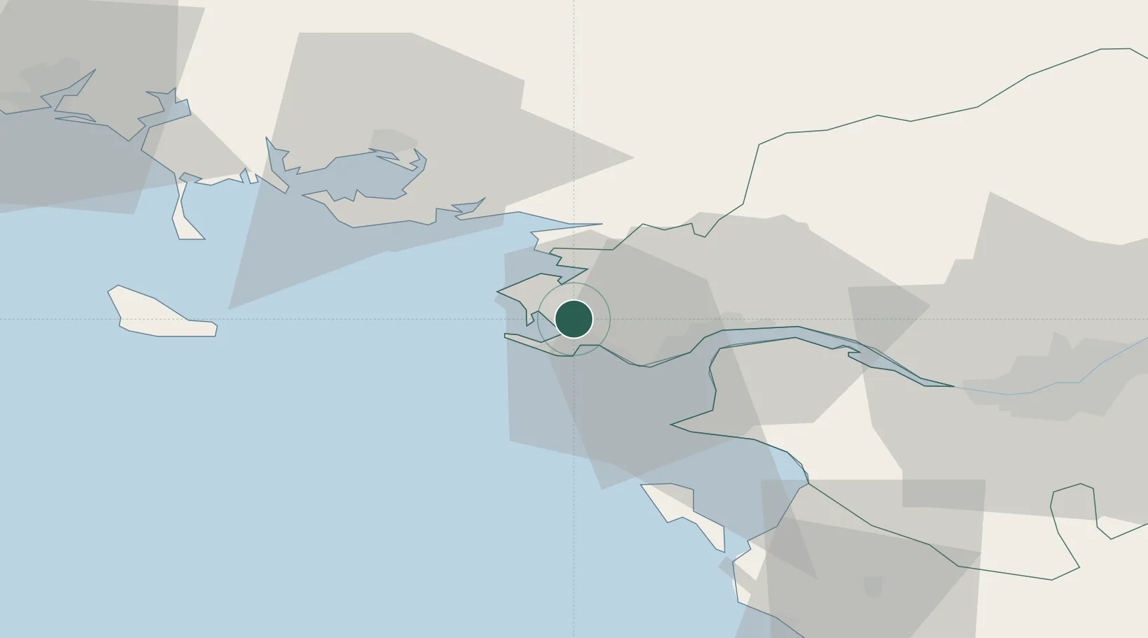
Hub Profile
Place type
Populated place
Region
Pays de la Loire
Population
16,523
Time zone
Europe/Paris
Elevation
55 m
Location
Nearby Logistics Neighbours
Cities
- 1La Baule-Escoublac6 km
- 2Batz-sur-Mer8 km
- 3La Turballe8 km
- 4Saint-André-des-Eaux8 km
- 5Le Quesne8 km
Ports
- 1St Nazaire17 km
- 2Montoir22 km
- 3Donges27 km
- 4Nantes66 km
- 5Lorient84 km
Airports
Trade Zones
- 1ZFU Saint-Nazaire12 km
- 2ZFU Nantes et Saint-Herblain55 km
- 3ZFU Angers138 km
- 4ZFU La Rochelle159 km
- 5ZFU Le Mans204 km
DatabookThe Record of Consolidated Knowledge
France beyond logistics?