UN/LOCODE hub · France
FREQN

Le Quesne

47.2833°, -2.5000°
1
Transport functions

Transport Functions

Port
UN/LOCODE

Hub Profile

Place type
Populated place
GeoNames
Region
Normandy
GeoNames
Time zone
Europe/Paris
GeoNames
Elevation
181 m
GeoNames

Location

Location of FREQN
Natural Earth 10m (public domain) · Normandy · FREQN · 47.28, -2.50GoogleOSMYandex

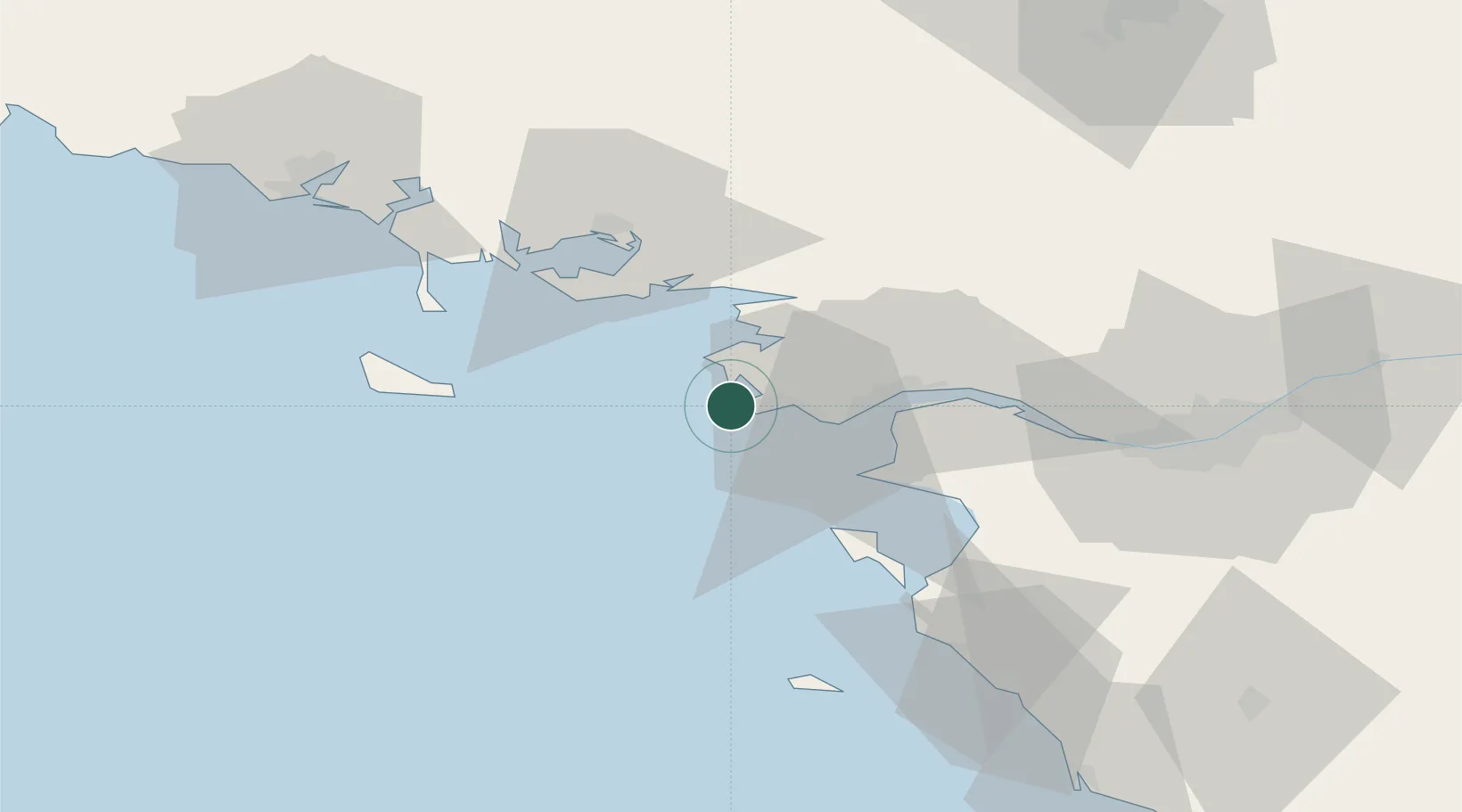
Nearby Logistics Neighbours

Cities
  1. 1Batz-sur-Mer1 km
  2. 2La Turballe8 km
  3. 3La Baule-Escoublac8 km
  4. 4Guérande8 km
  5. 5Pornichet12 km
Nearest neighbours — logibook spatial index (haversine) over the source coordinates
Ports
  1. 1St Nazaire23 km
  2. 2Montoir28 km
  3. 3Donges33 km
  4. 4Nantes71 km
  5. 5Lorient82 km
Nearest neighbours — logibook spatial index (haversine) over the source coordinates
Airports
  1. 1La Baule-Escoublac Airport12 km
  2. 2Saint-Nazaire-Montoir Airport26 km
  3. 3Vannes-Meucon Airport52 km
  4. 4Aérodrome de Belle Île53 km
  5. 5Beauvoir Fromentine Airfield54 km
Nearest neighbours — logibook spatial index (haversine) over the source coordinates
Trade Zones
  1. 1ZFU Saint-Nazaire17 km
  2. 2ZFU Nantes et Saint-Herblain61 km
  3. 3ZFU Angers145 km
  4. 4ZFU La Rochelle159 km
  5. 5ZFU Le Mans212 km
Nearest neighbours — logibook spatial index (haversine) over the source coordinates
DatabookThe Record of Consolidated Knowledge
France beyond logistics?
Browse databook

All Sources

LocationsUN/LOCODE
UN/LOCODE — free
Portsthe NGA World Port Index
Public domain (US gov)
AirportsOurAirports
Public domain
Trade Zonesthe World Bank SEZ database
CC BY 4.0
Trade ZonesOpen Zone Map
CC BY
← France locations