Transport Functions
Multimodal
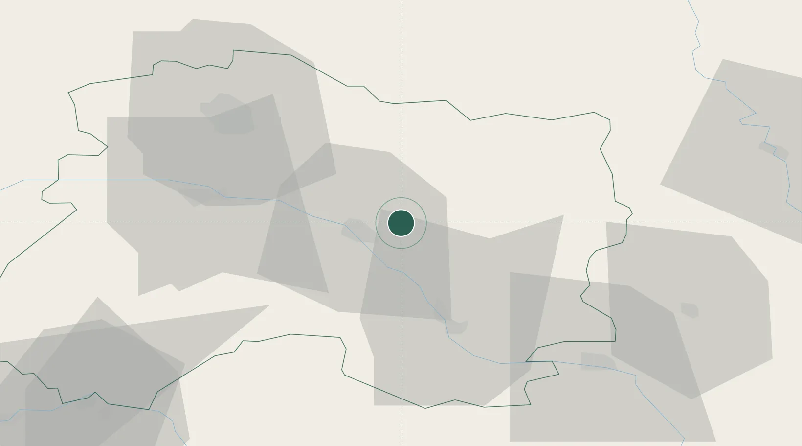
Hub Profile
Place type
Populated place
Region
Grand Est
Population
635
Time zone
Europe/Paris
Elevation
148 m
Location
Nearby Logistics Neighbours
Cities
- 1Marson1 km
- 2Courtisols4 km
- 3Châlons-en-Champagne8 km
- 4Saint-Martin-sur-le-Pré10 km
- 5Fagnières10 km
Airports
Trade Zones
DatabookThe Record of Consolidated Knowledge
France beyond logistics?