Transport Functions
Port
Multimodal
Hub Profile
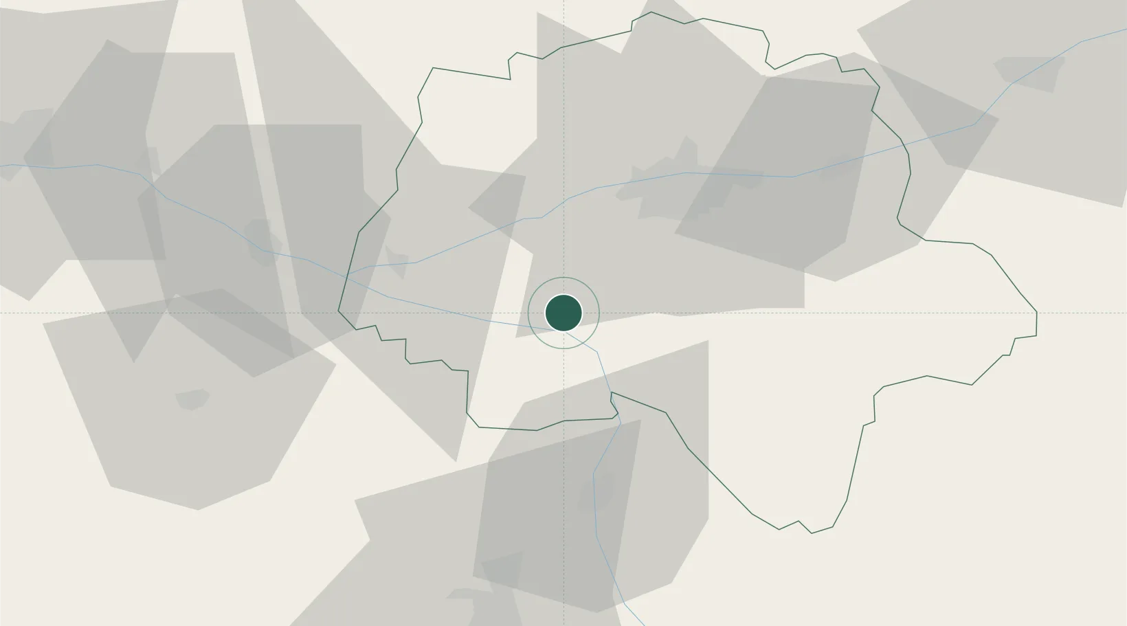
Place type
Populated place
Region
Centre-Val de Loire
Population
114
Time zone
Europe/Paris
Elevation
73 m
Location
Nearby Logistics Neighbours
Ports
- 1Nantes155 km
- 2La Rochelle167 km
- 3La Pallice170 km
- 4Tonnay Charente172 km
- 5Rochefort174 km
Airports
- 1Tours Val de Loire Airport36 km
- 2Poitiers-Biard Airport64 km
- 3Angers Marcé airport75 km
- 4Le Mans-Arnage Airport91 km
- 5Châteauroux Déols airport100 km
Trade Zones
- 1ZFU Blois76 km
- 2ZFU Angers90 km
- 3ZFU Le Mans96 km
- 4ZFU Orléans130 km
- 5ZFU Bourges140 km
DatabookThe Record of Consolidated Knowledge
France beyond logistics?