Transport Functions
Rail
Road
Hub Profile
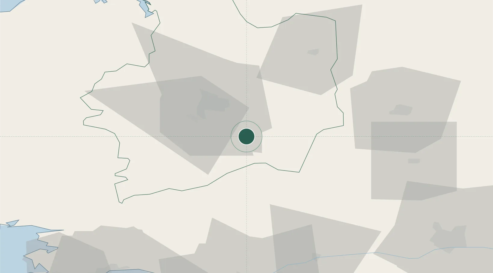
Place type
Populated place
Region
Brittany
Population
5,927
Time zone
Europe/Paris
Elevation
85 m
Location
Nearby Logistics Neighbours
Cities
- 1Retiers11 km
- 2Noyal-Châtillon-sur-Seiche17 km
- 3Chantepie17 km
- 4Brécé19 km
- 5Martigné-Ferchaud19 km
Ports
- 1Nantes84 km
- 2Donges84 km
- 3Montoir87 km
- 4Saint-Malo87 km
- 5St Nazaire91 km
Airports
Trade Zones
- 1ZFU Nantes et Saint-Herblain82 km
- 2ZFU Angers85 km
- 3ZFU Saint-Nazaire95 km
- 4ZFU Le Mans121 km
- 5ZFU Alençon129 km
DatabookThe Record of Consolidated Knowledge
France beyond logistics?