UN/LOCODE hub · France
FRSBK

Saint-Brieuc

48.5167°, -2.7833°
52,774
Population
3
Transport functions

Transport Functions

Port
Road
Airport
UN/LOCODE

Hub Profile

Place type
Provincial seat
GeoNames
Region
Brittany
GeoNames
Population
52,774
GeoNames
Time zone
Europe/Paris
GeoNames
Elevation
96 m
GeoNames

Location

Location of FRSBK
Natural Earth 10m (public domain) · Brittany · FRSBK · 48.52, -2.78GoogleOSMYandex

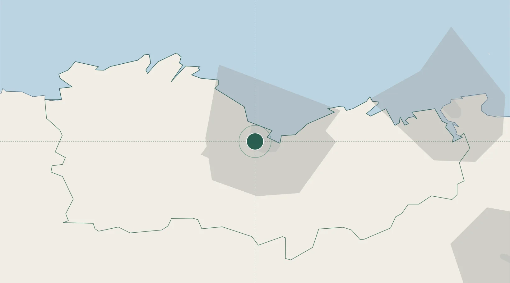
Nearby Logistics Neighbours

Cities
  1. 1La Méaugon4 km
  2. 2Binic10 km
  3. 3Planguenoual15 km
  4. 4Saint-Brandan16 km
  5. 5Lanrodec18 km
Nearest neighbours — logibook spatial index (haversine) over the source coordinates
Ports
  1. 1Le Legue3 km
  2. 2Pontrieux34 km
  3. 3Paimpol36 km
  4. 4Lezardrieux38 km
  5. 5Treguier44 km
Nearest neighbours — logibook spatial index (haversine) over the source coordinates
Airports
  1. 1Saint-Brieuc-Armor Airport6 km
  2. 2Dinard Pleurtuit Saint-Malo airport52 km
  3. 3Lannion Airport57 km
  4. 4Morlaix-Ploujean Airport77 km
  5. 5Jersey Airport88 km
Nearest neighbours — logibook spatial index (haversine) over the source coordinates
Trade Zones
  1. 1ZFU Saint-Nazaire143 km
  2. 2ZFU Cherbourg-Octeville149 km
  3. 3ZFU Nantes et Saint-Herblain165 km
  4. 4ZFU La Guérinière, La Grâce de Dieu189 km
  5. 5ZFU Hérouville-Saint-Clair194 km
Nearest neighbours — logibook spatial index (haversine) over the source coordinates
DatabookThe Record of Consolidated Knowledge
France beyond logistics?
Browse databook

All Sources

LocationsUN/LOCODE
UN/LOCODE — free
LocationsGeoNames
CC BY 4.0
Portsthe NGA World Port Index
Public domain (US gov)
AirportsOurAirports
Public domain
Trade Zonesthe World Bank SEZ database
CC BY 4.0
Trade ZonesOpen Zone Map
CC BY
← France locations