Transport Functions
Rail
Road
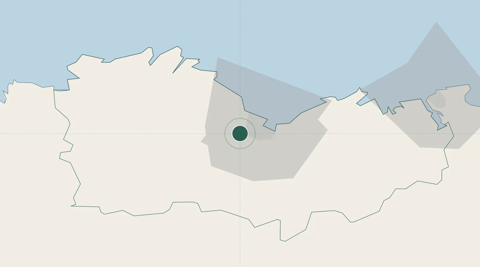
Hub Profile
Place type
Populated place
Region
Brittany
Population
1,173
Time zone
Europe/Paris
Elevation
125 m
Location
Nearby Logistics Neighbours
Cities
- 1Saint-Brieuc4 km
- 2Binic11 km
- 3Saint-Brandan13 km
- 4Lanrodec15 km
- 5Lanvollon19 km
Ports
- 1Le Legue7 km
- 2Pontrieux33 km
- 3Paimpol35 km
- 4Lezardrieux38 km
- 5Treguier43 km
Airports
Trade Zones
- 1ZFU Saint-Nazaire142 km
- 2ZFU Cherbourg-Octeville153 km
- 3ZFU Nantes et Saint-Herblain165 km
- 4ZFU La Guérinière, La Grâce de Dieu193 km
- 5ZFU Hérouville-Saint-Clair198 km
DatabookThe Record of Consolidated Knowledge
France beyond logistics?