UN/LOCODE hub · France
FREVD
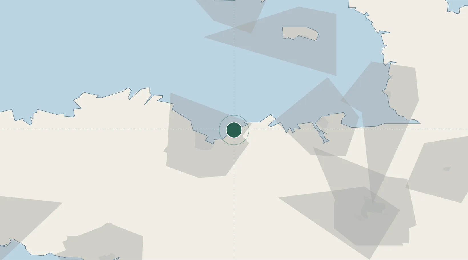
Pléneuf-Val-André
48.6000°, -2.5500°
3,942
Population
2
Transport functions
Transport Functions
Port
Road
Hub Profile
Place type
Populated place
Region
Brittany
Population
3,942
Time zone
Europe/Paris
Elevation
54 m
Location
Nearby Logistics Neighbours
Cities
- 1Planguenoual8 km
- 2Matignon18 km
- 3Saint-Brieuc20 km
- 4Binic21 km
- 5Plestan22 km
Ports
- 1Le Legue17 km
- 2Saint-Malo40 km
- 3Paimpol42 km
- 4Pontrieux46 km
- 5Lezardrieux46 km
Airports
- 1Saint-Brieuc-Armor Airport23 km
- 2Dinard Pleurtuit Saint-Malo airport35 km
- 3Lannion Airport70 km
- 4Jersey Airport72 km
- 5Granville Airport79 km
Trade Zones
- 1ZFU Cherbourg-Octeville132 km
- 2ZFU Saint-Nazaire149 km
- 3ZFU Nantes et Saint-Herblain166 km
- 4ZFU La Guérinière, La Grâce de Dieu170 km
- 5ZFU Hérouville-Saint-Clair174 km
DatabookThe Record of Consolidated Knowledge
France beyond logistics?