Transport Functions
Port
Road
Hub Profile
Place type
Populated place
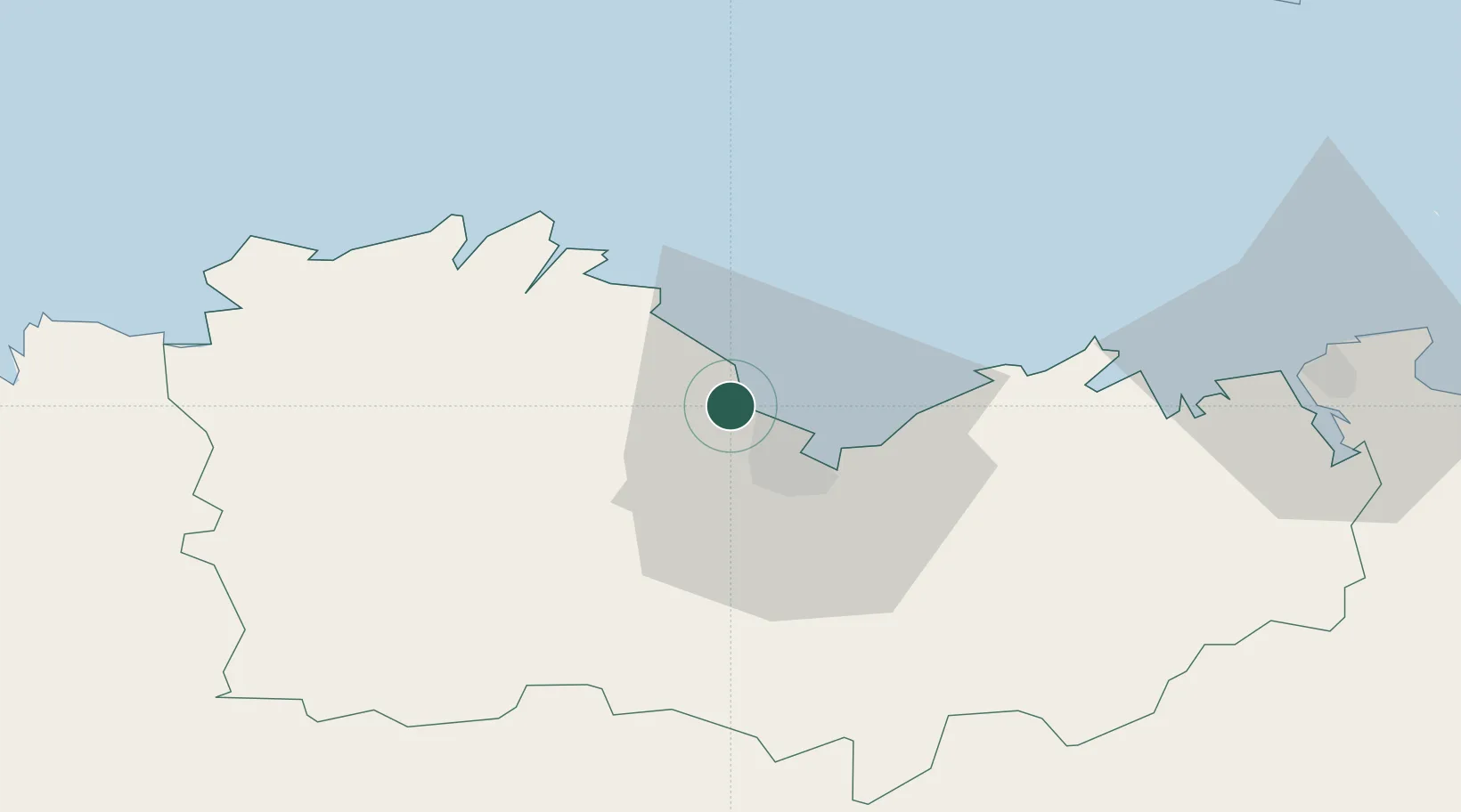
Region
Brittany
Population
3,272
Time zone
Europe/Paris
Location
Nearby Logistics Neighbours
Cities
- 1Saint-Brieuc10 km
- 2La Méaugon11 km
- 3Lanvollon12 km
- 4Lanloup16 km
- 5Lanrodec17 km
Ports
- 1Le Legue10 km
- 2Paimpol26 km
- 3Pontrieux26 km
- 4Lezardrieux29 km
- 5Treguier36 km
Airports
- 1Saint-Brieuc-Armor Airport7 km
- 2Lannion Airport50 km
- 3Dinard Pleurtuit Saint-Malo airport55 km
- 4Morlaix-Ploujean Airport72 km
- 5Jersey Airport82 km
Trade Zones
- 1ZFU Cherbourg-Octeville144 km
- 2ZFU Saint-Nazaire153 km
- 3ZFU Nantes et Saint-Herblain175 km
- 4ZFU La Guérinière, La Grâce de Dieu189 km
- 5ZFU Hérouville-Saint-Clair194 km
DatabookThe Record of Consolidated Knowledge
France beyond logistics?