Transport Functions
Port
Rail
Road
Hub Profile
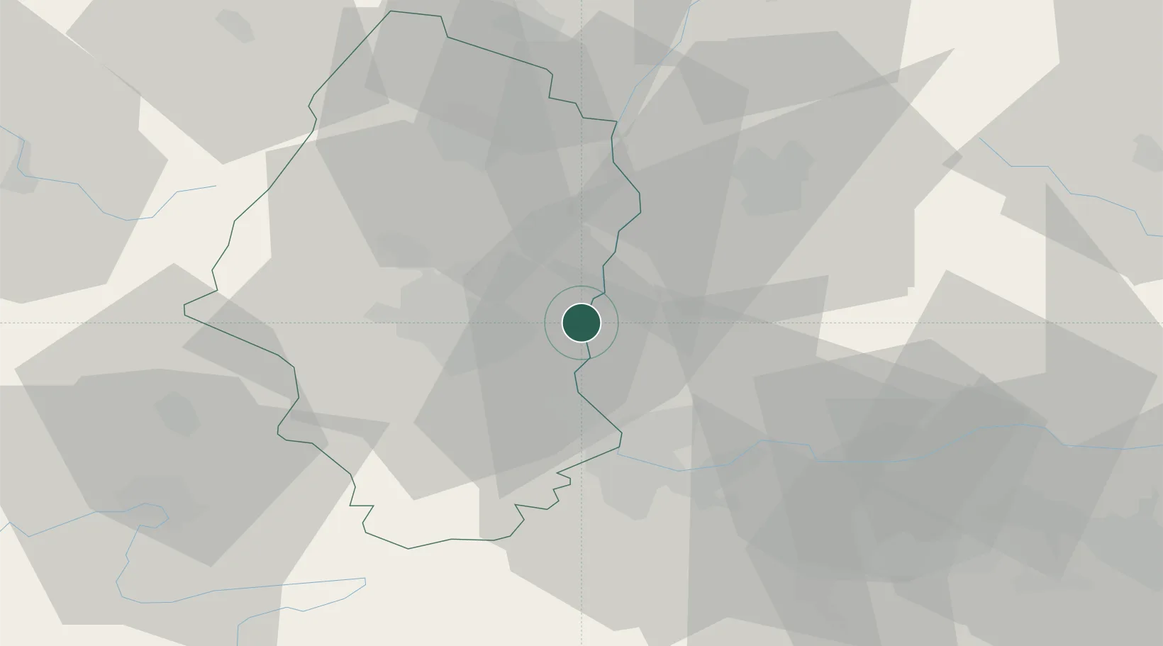
Place type
Populated place
Region
Grand Est
Population
2,018
Time zone
Europe/Paris
Elevation
221 m
Logistics facilities
2
Location
Nearby Logistics Neighbours
Cities
- 1Hombourg3 km
- 2Bantzenheim3 km
- 3Auggen6 km
- 4Habsheim10 km
- 5Kembs12 km
Ports
- 1Genova392 km
- 2Savona393 km
- 3Rada Di Vado398 km
- 4Chiavari - Lavagna412 km
- 5Bruxelles412 km
Airports
- 1EuroAirport Basel–Mulhouse–Freiburg21 km
- 2Colmar Houssen airport38 km
- 3Montbéliard-Courcelles Airfield64 km
- 4Grenchen Airfield68 km
- 5Lahr Airport68 km
Trade Zones
- 1ZFU Mulhouse15 km
- 2ZFU Belfort56 km
- 3ZFU Montbéliard64 km
- 4ZFU Neuhof85 km
- 5ZFU Hautepierre90 km
DatabookThe Record of Consolidated Knowledge
France beyond logistics?