Transport Functions
Multimodal
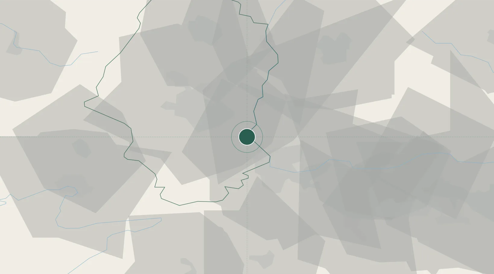
Hub Profile
Place type
Populated place
Region
Grand Est
Population
3,909
Time zone
Europe/Paris
Elevation
240 m
Location
Nearby Logistics Neighbours
Cities
- 1Huttingen3 km
- 2Bartenheim6 km
- 3Dietwiller7 km
- 4Habsheim8 km
- 5Hombourg9 km
Ports
- 1Genova381 km
- 2Savona382 km
- 3Rada Di Vado387 km
- 4Chiavari - Lavagna401 km
- 5Bruxelles421 km
Airports
Trade Zones
- 1ZFU Mulhouse14 km
- 2ZFU Belfort52 km
- 3ZFU Montbéliard57 km
- 4ZFU Neuhof97 km
- 5ZFU Hautepierre102 km
DatabookThe Record of Consolidated Knowledge
France beyond logistics?