Transport Functions
Port
Multimodal
Hub Profile
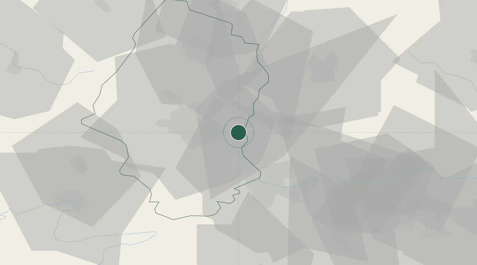
Place type
Populated place
Region
Grand Est
Population
895
Time zone
Europe/Paris
Elevation
226 m
Location
Nearby Logistics Neighbours
Cities
- 1Ottmarsheim3 km
- 2Bantzenheim6 km
- 3Habsheim7 km
- 4Auggen8 km
- 5Kembs9 km
Ports
- 1Genova390 km
- 2Savona391 km
- 3Rada Di Vado396 km
- 4Chiavari - Lavagna410 km
- 5Bruxelles413 km
Airports
- 1EuroAirport Basel–Mulhouse–Freiburg19 km
- 2Colmar Houssen airport40 km
- 3Montbéliard-Courcelles Airfield62 km
- 4Grenchen Airfield65 km
- 5Lahr Airport71 km
Trade Zones
- 1ZFU Mulhouse12 km
- 2ZFU Belfort54 km
- 3ZFU Montbéliard61 km
- 4ZFU Neuhof88 km
- 5ZFU Hautepierre93 km
DatabookThe Record of Consolidated Knowledge
France beyond logistics?