Transport Functions
Rail
Road
Hub Profile
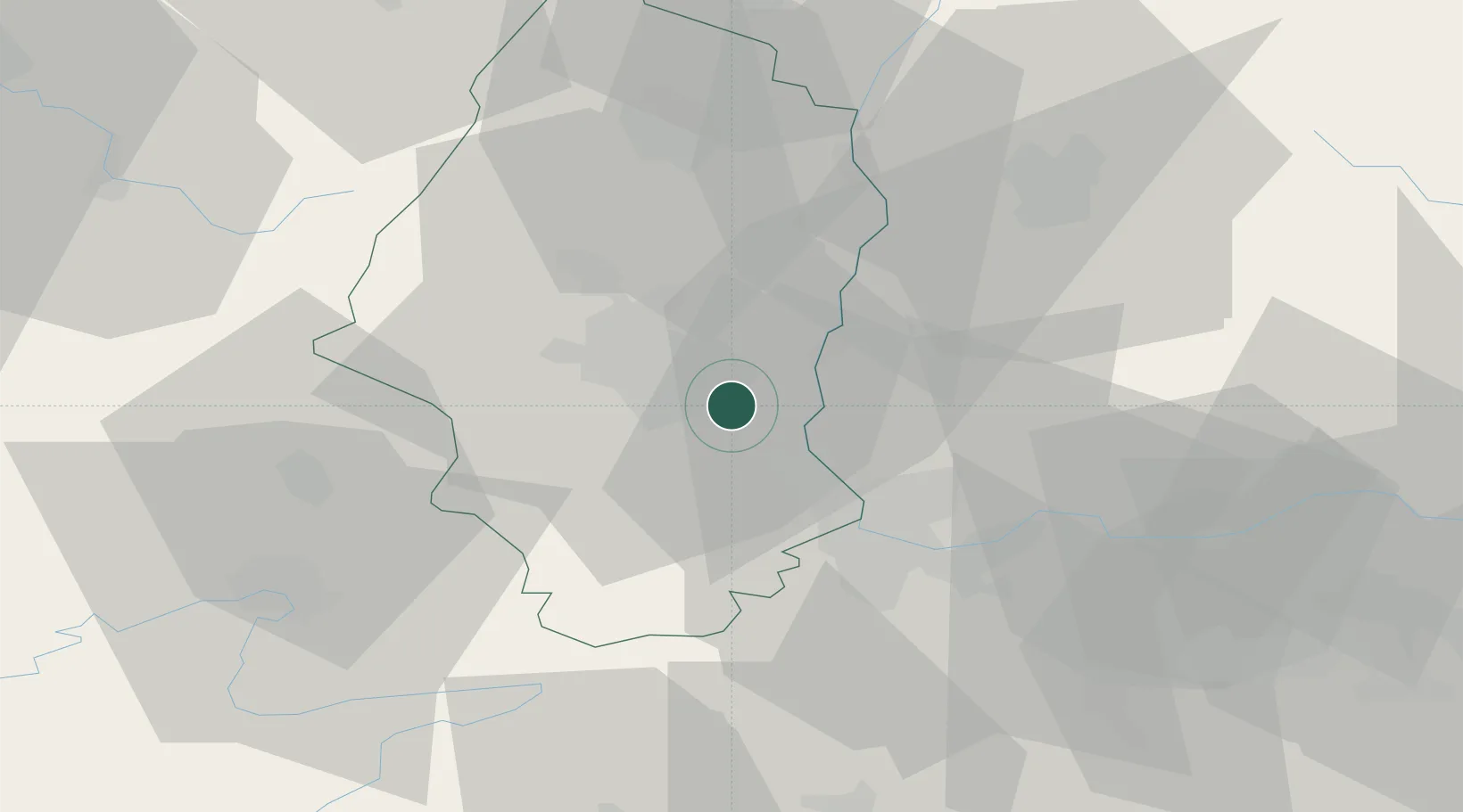
Place type
Populated place
Region
Grand Est
Population
4,534
Time zone
Europe/Paris
Elevation
239 m
Location
Nearby Logistics Neighbours
Cities
- 1Dietwiller4 km
- 2Mulhouse7 km
- 3Hombourg7 km
- 4Mulhouse Nord8 km
- 5Kembs8 km
Ports
- 1Genova389 km
- 2Savona389 km
- 3Rada Di Vado394 km
- 4Chiavari - Lavagna409 km
- 5Bruxelles413 km
Airports
- 1EuroAirport Basel–Mulhouse–Freiburg17 km
- 2Colmar Houssen airport42 km
- 3Montbéliard-Courcelles Airfield54 km
- 4Grenchen Airfield61 km
- 5Lahr Airport77 km
Trade Zones
- 1ZFU Mulhouse6 km
- 2ZFU Belfort47 km
- 3ZFU Montbéliard54 km
- 4ZFU Neuhof93 km
- 5ZFU Hautepierre98 km
DatabookThe Record of Consolidated Knowledge
France beyond logistics?