Transport Functions
Rail
Road
Hub Profile
Place type
Local administrative seat
Region
Baden-Wurttemberg
Population
2,404
Time zone
Europe/Berlin
Elevation
283 m
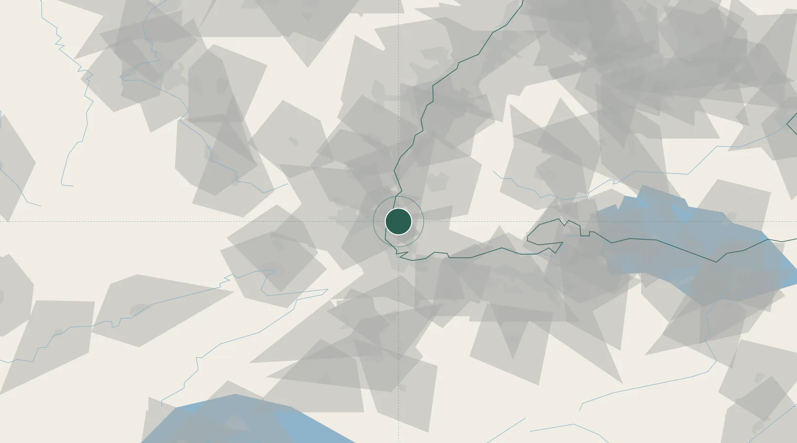
Location
Nearby Logistics Neighbours
Cities
- 1Ottmarsheim6 km
- 2Bantzenheim6 km
- 3Hombourg8 km
- 4Kandern9 km
- 5Eschbach (Markgräflerland)12 km
Ports
- 1Genova390 km
- 2Savona392 km
- 3Rada Di Vado397 km
- 4Chiavari - Lavagna409 km
- 5Bruxelles416 km
Airports
- 1EuroAirport Basel–Mulhouse–Freiburg21 km
- 2Colmar Houssen airport41 km
- 3Lahr Airport67 km
- 4Grenchen Airfield68 km
- 5Montbéliard-Courcelles Airfield69 km
Trade Zones
- 1ZFU Mulhouse20 km
- 2ZFU Belfort61 km
- 3ZFU Montbéliard68 km
- 4ZFU Neuhof85 km
- 5ZFU Hautepierre91 km
DatabookThe Record of Consolidated Knowledge
Germany beyond logistics?