Transport Functions
Rail
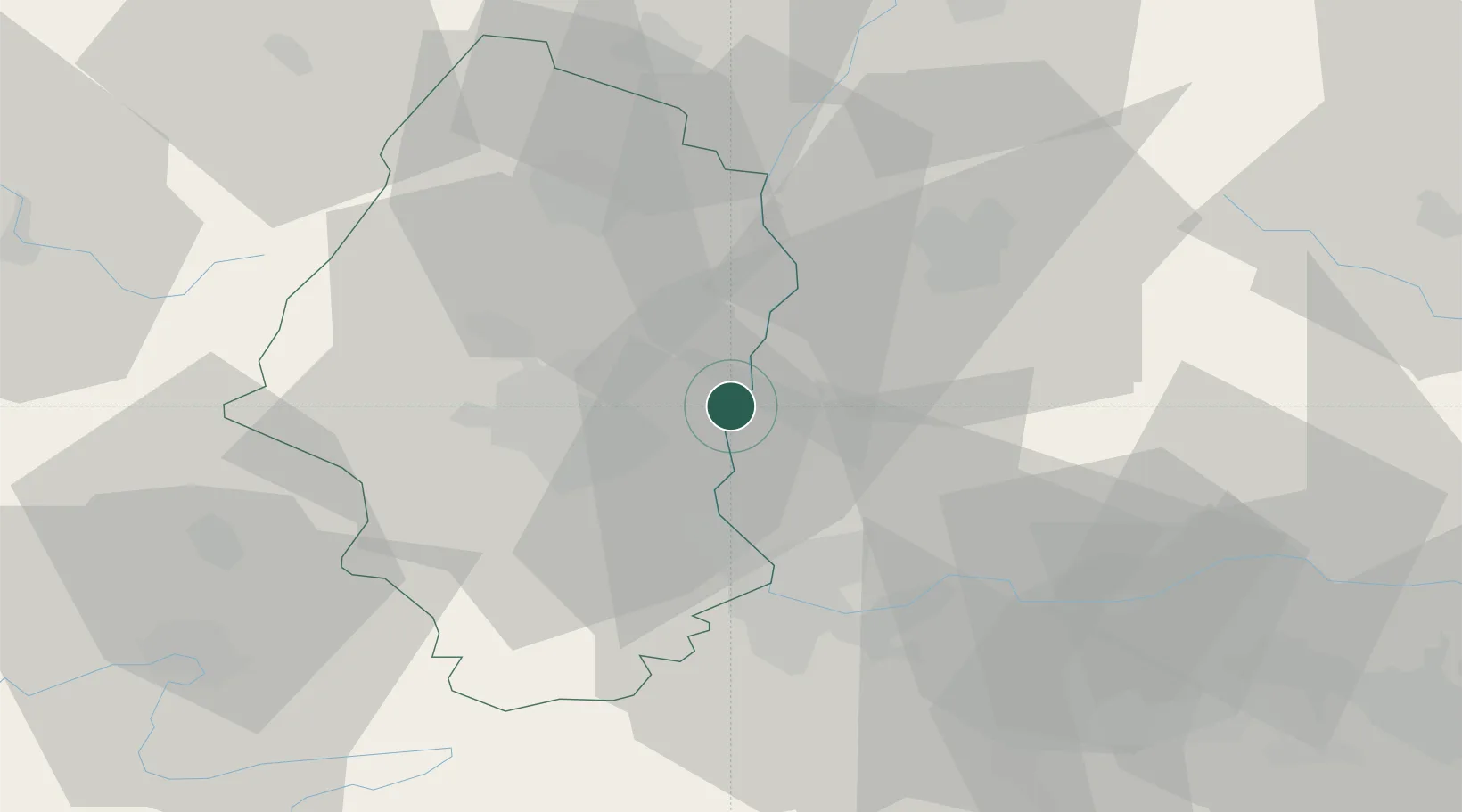
Hub Profile
Place type
Populated place
Region
Grand Est
Population
1,649
Time zone
Europe/Paris
Elevation
218 m
Location
Nearby Logistics Neighbours
Cities
- 1Ottmarsheim3 km
- 2Hombourg6 km
- 3Auggen6 km
- 4Eschbach (Markgräflerland)11 km
- 5Habsheim13 km
Ports
- 1Genova395 km
- 2Savona396 km
- 3Rada Di Vado401 km
- 4Bruxelles410 km
- 5Chiavari - Lavagna414 km
Airports
- 1EuroAirport Basel–Mulhouse–Freiburg24 km
- 2Colmar Houssen airport35 km
- 3Lahr Airport65 km
- 4Montbéliard-Courcelles Airfield67 km
- 5Grenchen Airfield71 km
Trade Zones
- 1ZFU Mulhouse17 km
- 2ZFU Belfort58 km
- 3ZFU Montbéliard66 km
- 4ZFU Neuhof82 km
- 5ZFU Hautepierre87 km
DatabookThe Record of Consolidated Knowledge
France beyond logistics?