Transport Functions
Multimodal
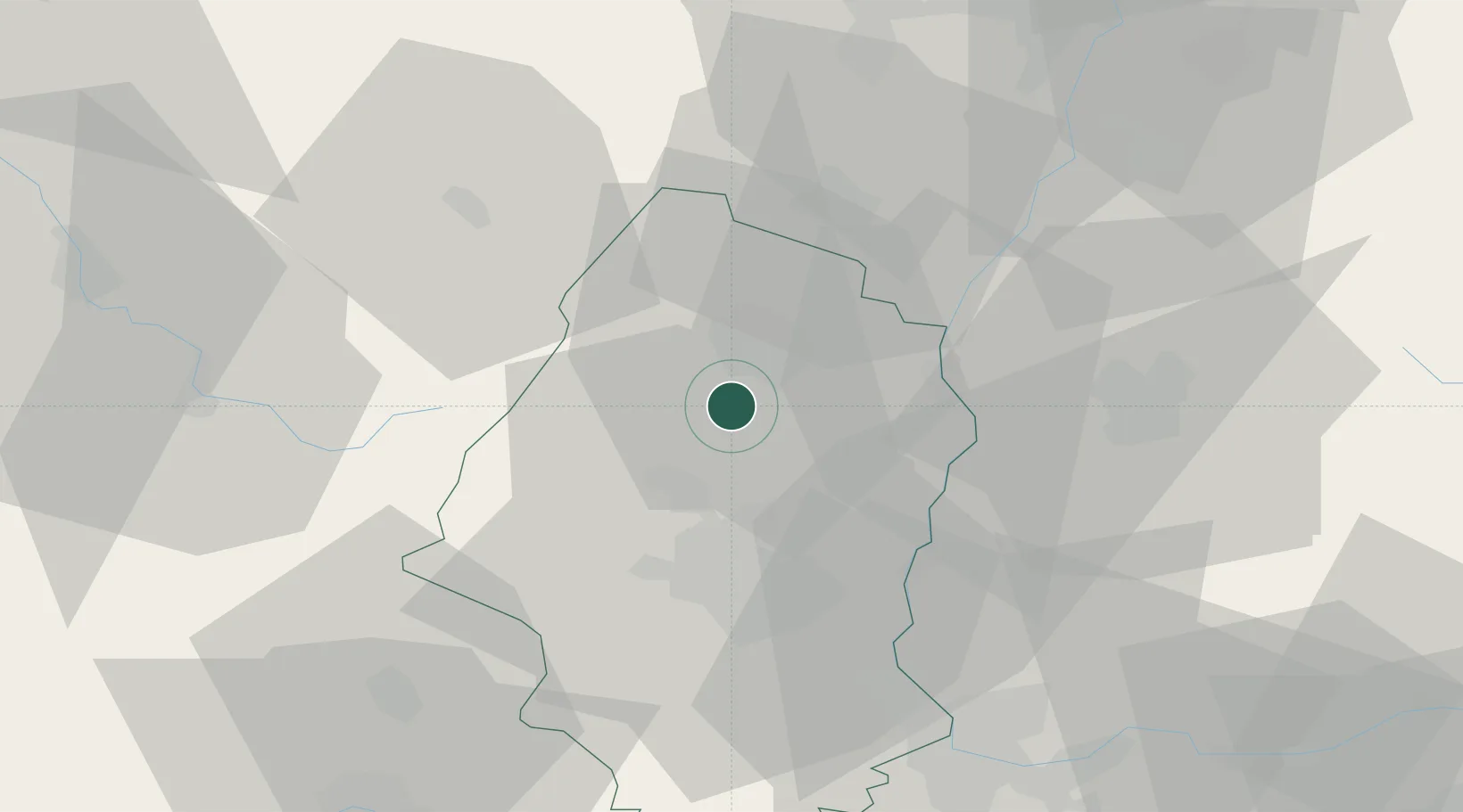
Hub Profile
Place type
Populated place
Region
Grand Est
Population
822
Time zone
Europe/Paris
Elevation
205 m
Location
Nearby Logistics Neighbours
Cities
- 1Obermorschwihr0 km
- 2Herrlisheim-près-Colmar1 km
- 3Vgtlinshoffen1 km
- 4Gueberschwihr2 km
- 5Sainte-Croix-en-Plaine6 km
Airports
- 1Colmar Houssen airport11 km
- 2EuroAirport Basel–Mulhouse–Freiburg49 km
- 3Lahr Airport55 km
- 4Strasbourg Airport63 km
- 5Montbéliard-Courcelles Airfield70 km
Trade Zones
- 1ZFU Mulhouse30 km
- 2ZFU Belfort55 km
- 3ZFU Neuhof68 km
- 4ZFU Montbéliard69 km
- 5ZFU Hautepierre71 km
DatabookThe Record of Consolidated Knowledge
France beyond logistics?