Transport Functions
Multimodal
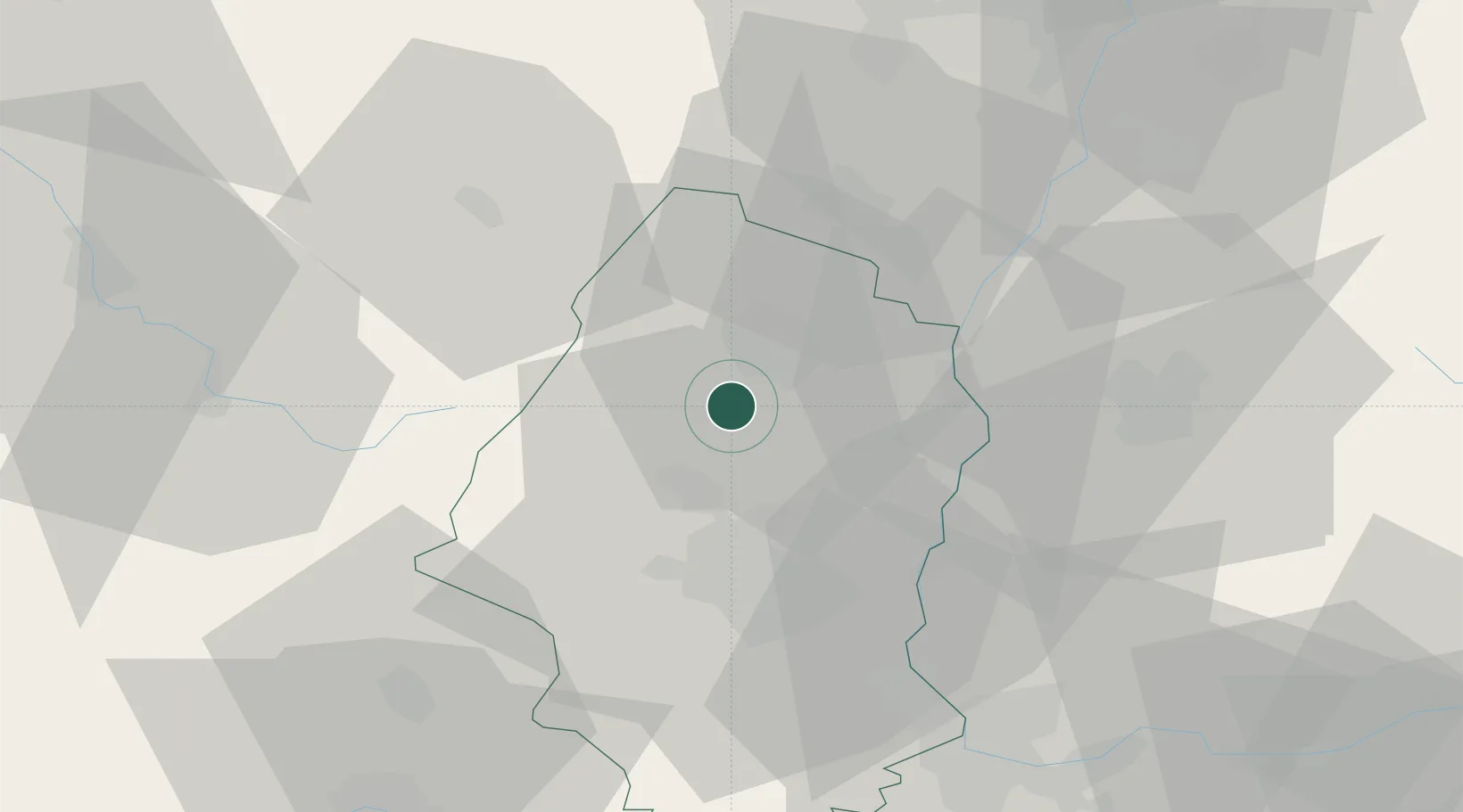
Hub Profile
Region
68
Location
Nearby Logistics Neighbours
Cities
- 1Hattstatt1 km
- 2Obermorschwihr1 km
- 3Gueberschwihr2 km
- 4Herrlisheim-près-Colmar3 km
- 5Osenbach6 km
Airports
- 1Colmar Houssen airport12 km
- 2EuroAirport Basel–Mulhouse–Freiburg50 km
- 3Lahr Airport56 km
- 4Strasbourg Airport63 km
- 5Montbéliard-Courcelles Airfield70 km
Trade Zones
- 1ZFU Mulhouse30 km
- 2ZFU Belfort55 km
- 3ZFU Montbéliard68 km
- 4ZFU Neuhof68 km
- 5ZFU Hautepierre71 km
DatabookThe Record of Consolidated Knowledge
France beyond logistics?