Transport Functions
Port
Hub Profile
Place type
Populated place
Region
Grand Est
Population
850
Time zone
Europe/Paris
Elevation
263 m
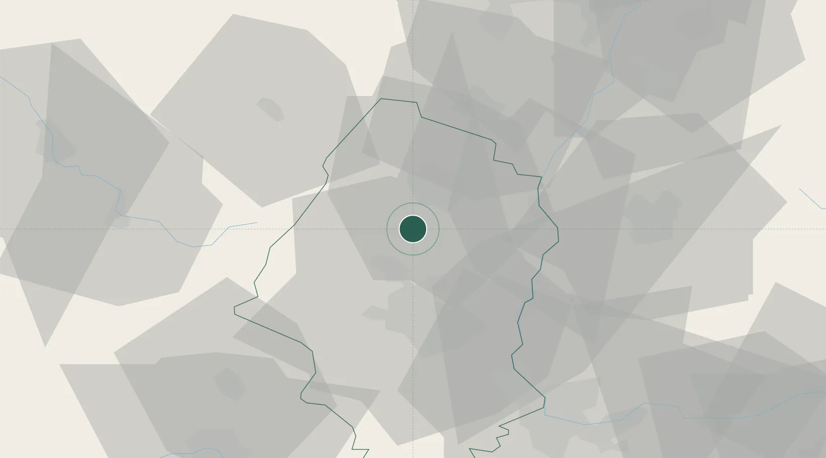
Location
Nearby Logistics Neighbours
Cities
- 1Vgtlinshoffen2 km
- 2Hattstatt2 km
- 3Obermorschwihr2 km
- 4Herrlisheim-près-Colmar3 km
- 5Osenbach5 km
Ports
- 1Bruxelles383 km
- 2Antwerpen414 km
- 3Genova420 km
- 4Savona420 km
- 5Rada Di Vado425 km
Airports
- 1Colmar Houssen airport14 km
- 2EuroAirport Basel–Mulhouse–Freiburg48 km
- 3Lahr Airport58 km
- 4Strasbourg Airport65 km
- 5Montbéliard-Courcelles Airfield68 km
Trade Zones
- 1ZFU Mulhouse28 km
- 2ZFU Belfort53 km
- 3ZFU Montbéliard66 km
- 4ZFU Neuhof70 km
- 5ZFU Hautepierre73 km
DatabookThe Record of Consolidated Knowledge
France beyond logistics?