Transport Functions
Multimodal
Hub Profile
Place type
Populated place
Region
Hauts-de-France
Population
2,446
Time zone
Europe/Paris
Elevation
51 m
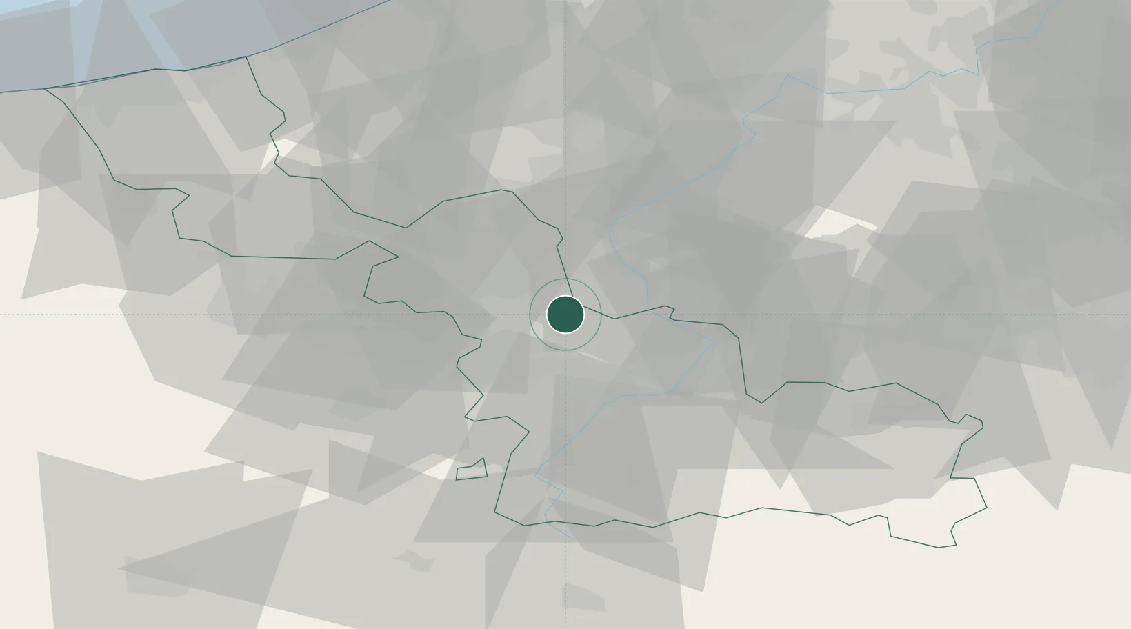
Location
Nearby Logistics Neighbours
Cities
- 1Auchy-lez-Orchies4 km
- 2Beuvry-la-Forêt6 km
- 3Templeuve6 km
- 4Cysoing8 km
- 5Sars-et-Rosières8 km
Ports
- 1Ghent72 km
- 2Nieuwpoort79 km
- 3Bruges82 km
- 4Oostende85 km
- 5Bruxelles88 km
Airports
DatabookThe Record of Consolidated Knowledge
France beyond logistics?