Transport Functions
Multimodal
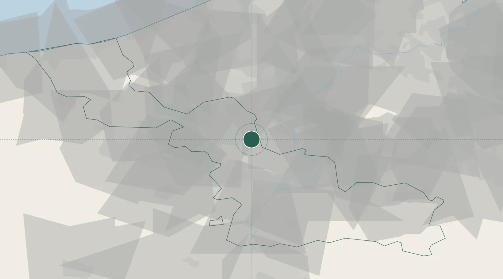
Hub Profile
Place type
Populated place
Region
Hauts-de-France
Population
4,344
Time zone
Europe/Paris
Elevation
42 m
Location
Nearby Logistics Neighbours
Cities
- 1Sainghin-en-Mélantois4 km
- 2Chéreng6 km
- 3Fretin6 km
- 4Templeuve7 km
- 5Lesquin7 km
Ports
- 1Ghent66 km
- 2Nieuwpoort71 km
- 3Bruges74 km
- 4Oostende77 km
- 5Dunkerque Port Est83 km
Airports
Trade Zones
DatabookThe Record of Consolidated Knowledge
France beyond logistics?