Transport Functions
Multimodal
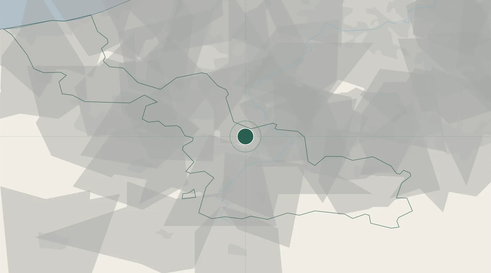
Hub Profile
Place type
Populated place
Region
Hauts-de-France
Population
391
Time zone
Europe/Paris
Elevation
18 m
Location
Nearby Logistics Neighbours
Cities
- 1Rosult2 km
- 2Beuvry-la-Forêt4 km
- 3Nomain8 km
- 4Bléharies9 km
- 5Nivelle10 km
Ports
- 1Ghent74 km
- 2Bruxelles85 km
- 3Nieuwpoort86 km
- 4Bruges88 km
- 5Oostende92 km
Airports
DatabookThe Record of Consolidated Knowledge
France beyond logistics?