UN/LOCODE hub · France
FRTPP

Templeuve

50.5167°, 3.1667°
1
Transport functions

Transport Functions

Multimodal
UN/LOCODE

Hub Profile

Region
59
GeoNames

Location

Location of FRTPP
Natural Earth 10m (public domain) · 59 · FRTPP · 50.52, 3.17GoogleOSMYandex

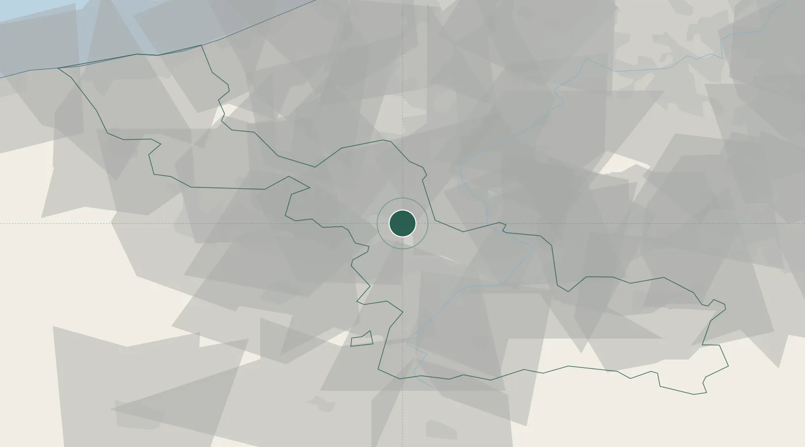
Nearby Logistics Neighbours

Cities
  1. 1Mérignies4 km
  2. 2Fretin4 km
  3. 3Auchy-lez-Orchies4 km
  4. 4Sainghin-en-Mélantois6 km
  5. 5Mons-en-Pévèle6 km
Nearest neighbours — logibook spatial index (haversine) over the source coordinates
Ports
  1. 1Ghent73 km
  2. 2Nieuwpoort75 km
  3. 3Bruges80 km
  4. 4Oostende82 km
  5. 5Dunkerque Port Est84 km
Nearest neighbours — logibook spatial index (haversine) over the source coordinates
Airports
  1. 1Lille Airport7 km
  2. 2Valenciennes-Denain Airfield30 km
  3. 3Flanders International Airport Kortrijk-Wevelgem34 km
  4. 4Merville-Calonne Airport39 km
  5. 5Chièvres Air Base47 km
Nearest neighbours — logibook spatial index (haversine) over the source coordinates
DatabookThe Record of Consolidated Knowledge
France beyond logistics?
Browse databook

All Sources

LocationsUN/LOCODE
UN/LOCODE — free
Portsthe NGA World Port Index
Public domain (US gov)
AirportsOurAirports
Public domain
Trade Zonesthe World Bank SEZ database
CC BY 4.0
Trade ZonesOpen Zone Map
CC BY
← France locations