Transport Functions
Multimodal
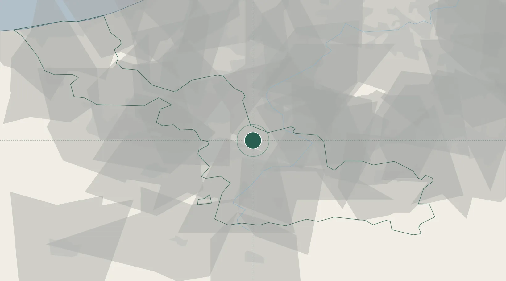
Hub Profile
Place type
Populated place
Region
Hauts-de-France
Time zone
Europe/Paris
Elevation
18 m
Location
Nearby Logistics Neighbours
Cities
- 1Sars-et-Rosières4 km
- 2Rosult6 km
- 3Nomain6 km
- 4Auchy-lez-Orchies7 km
- 5Somain9 km
Ports
- 1Ghent76 km
- 2Nieuwpoort85 km
- 3Bruges87 km
- 4Bruxelles88 km
- 5Oostende91 km
Airports
DatabookThe Record of Consolidated Knowledge
France beyond logistics?