Transport Functions
Multimodal
Hub Profile
Place type
Populated place
Region
Pays de la Loire
Time zone
Europe/Paris
Elevation
24 m
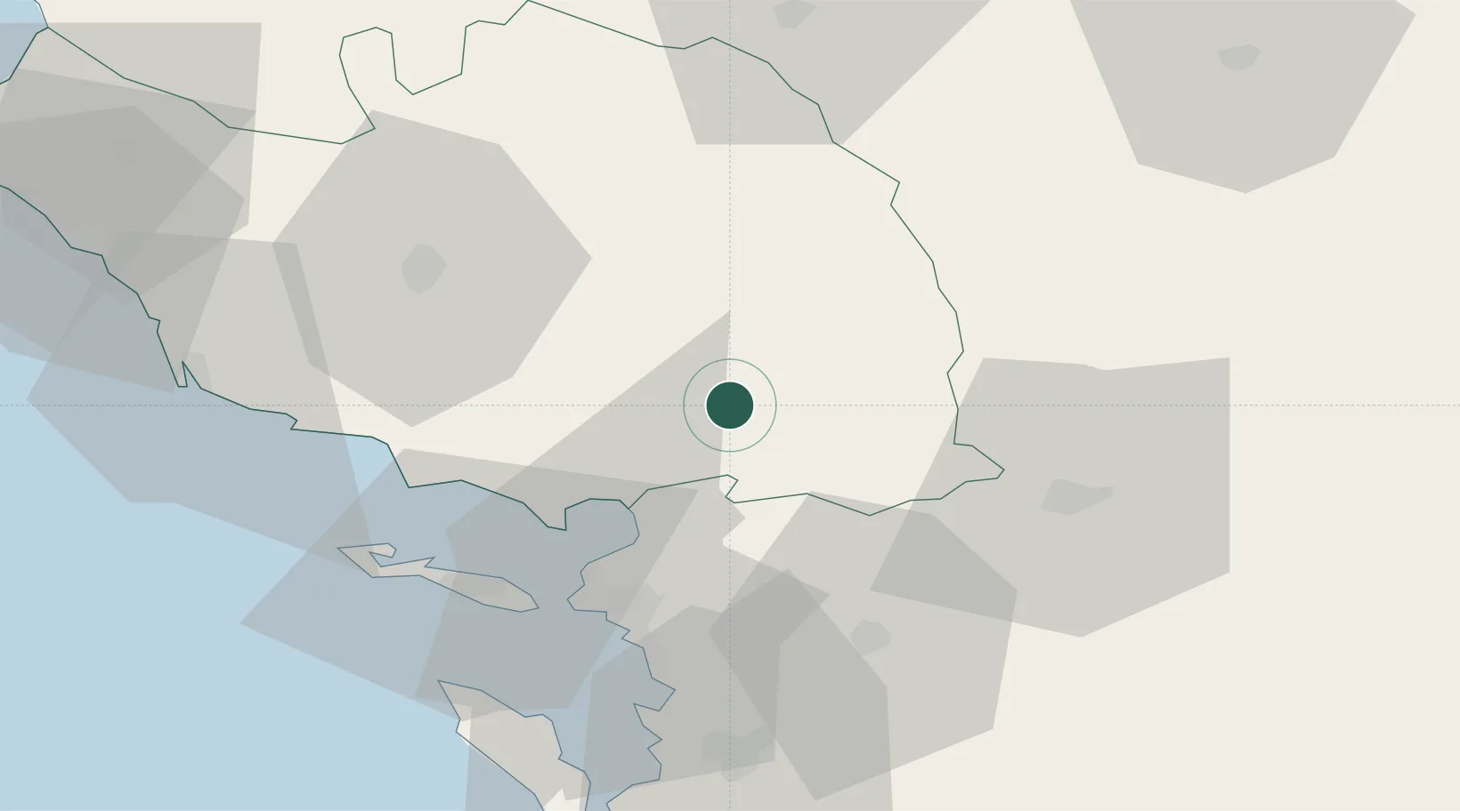
Location
Nearby Logistics Neighbours
Ports
- 1La Rochelle38 km
- 2La Pallice39 km
- 3Rochefort59 km
- 4Tonnay Charente60 km
- 5Les Sables D' Olonne64 km
Airports
Trade Zones
- 1ZFU La Rochelle39 km
- 2ZFU Nantes et Saint-Herblain101 km
- 3ZFU Angers116 km
- 4ZFU Saint-Nazaire134 km
- 5Port de Bordeaux176 km
DatabookThe Record of Consolidated Knowledge
France beyond logistics?