UN/LOCODE hub · France
FRNVS

Nevers

47.0000°, 3.1500°
43,988
Population
3
Transport functions

Transport Functions

Port
Rail
Airport
UN/LOCODE

Hub Profile

Place type
Provincial seat
GeoNames
Region
Bourgogne
GeoNames
Population
43,988
GeoNames
Time zone
Europe/Paris
GeoNames
Elevation
192 m
GeoNames

Location

Location of FRNVS
Natural Earth 10m (public domain) · Bourgogne · FRNVS · 47.00, 3.15GoogleOSMYandex

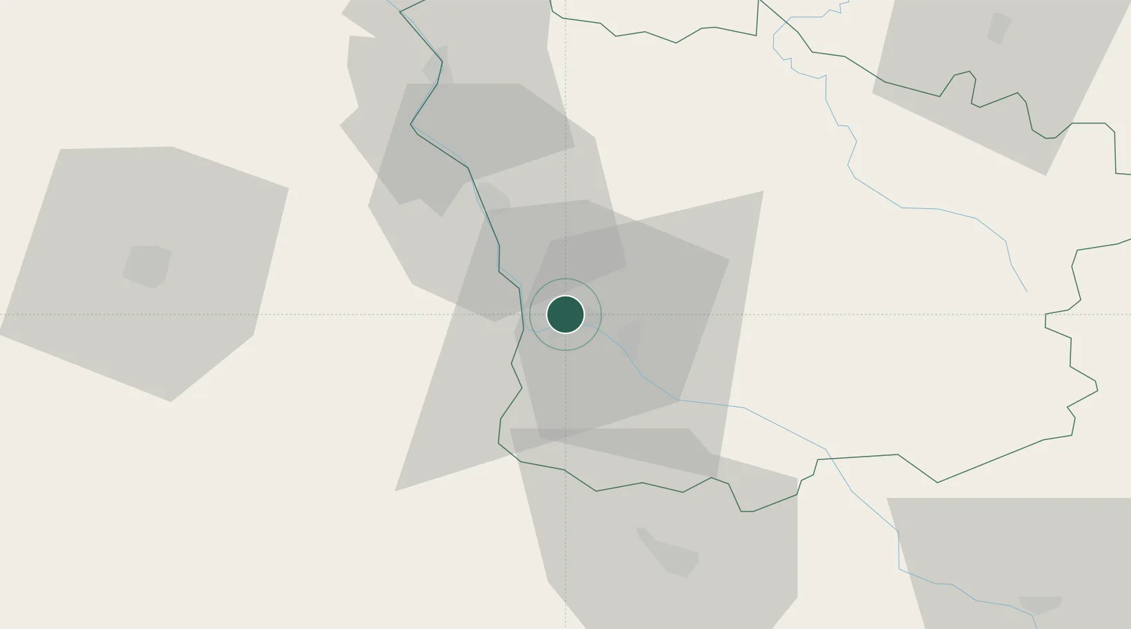
Nearby Logistics Neighbours

Cities
  1. 1Marzy6 km
  2. 2Pougues-les-Eaux11 km
  3. 3Saint-Léger-le-Petit17 km
  4. 4Raveau21 km
  5. 5Tendron24 km
Nearest neighbours — logibook spatial index (haversine) over the source coordinates
Ports
  1. 1Port Of Rouen313 km
  2. 2Tonnay Charente332 km
  3. 3Rochefort336 km
  4. 4La Rochelle342 km
  5. 5Honfleur346 km
Nearest neighbours — logibook spatial index (haversine) over the source coordinates
Airports
  1. 1Nevers-Fourchambault Airport3 km
  2. 2Avord (BA 702) Air Base40 km
  3. 3Bourges airport60 km
  4. 4Saint-Yan Airport93 km
  5. 5Vichy-Charmeil Airport94 km
Nearest neighbours — logibook spatial index (haversine) over the source coordinates
Trade Zones
  1. 1ZFU Bourges63 km
  2. 2ZFU Sens133 km
  3. 3ZFU Clermont-Ferrand135 km
  4. 4ZFU Orléans138 km
  5. 5ZFU Chenôve142 km
Nearest neighbours — logibook spatial index (haversine) over the source coordinates
DatabookThe Record of Consolidated Knowledge
France beyond logistics?
Browse databook

All Sources

LocationsUN/LOCODE
UN/LOCODE — free
LocationsGeoNames
CC BY 4.0
Portsthe NGA World Port Index
Public domain (US gov)
AirportsOurAirports
Public domain
Trade Zonesthe World Bank SEZ database
CC BY 4.0
Trade ZonesOpen Zone Map
CC BY
← France locations