Transport Functions
Multimodal
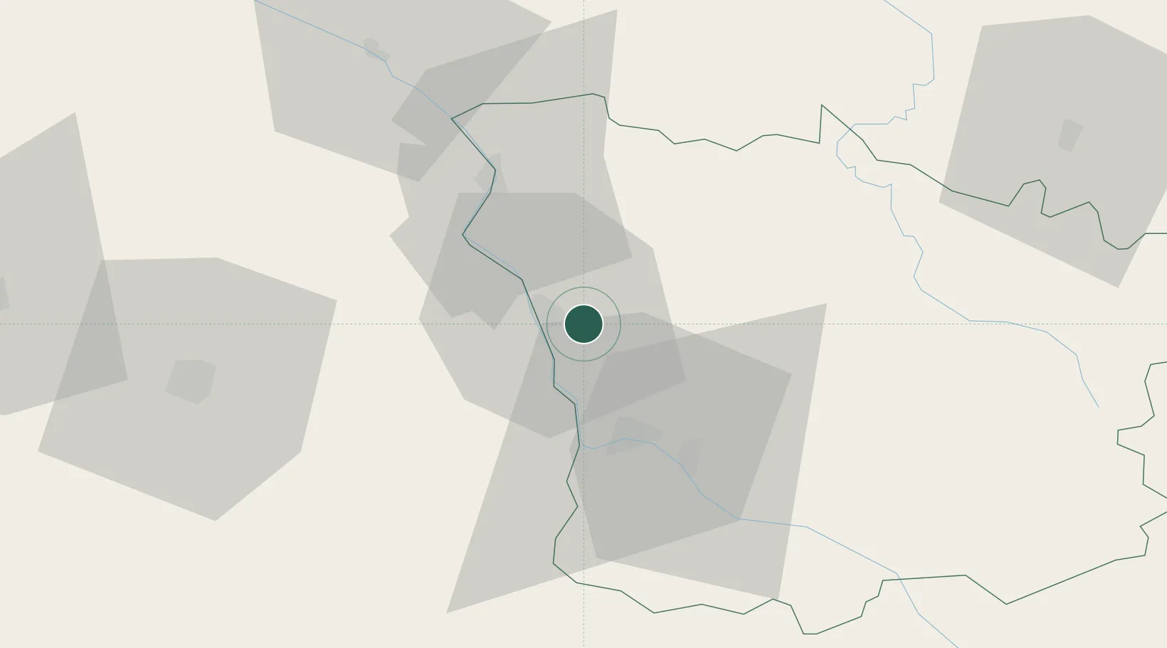
Hub Profile
Place type
Populated place
Region
Bourgogne
Population
714
Time zone
Europe/Paris
Elevation
193 m
Location
Nearby Logistics Neighbours
Cities
- 1Varennes-lès-Narcy6 km
- 2Saint-Léger-le-Petit10 km
- 3Chasnay11 km
- 4Pougues-les-Eaux11 km
- 5Pouilly-sur-Loire15 km
Ports
- 1Port Of Rouen293 km
- 2Honfleur327 km
- 3Deauville329 km
- 4Tonnay Charente335 km
- 5Port Of Le Havre337 km
Airports
- 1Nevers-Fourchambault Airport20 km
- 2Avord (BA 702) Air Base37 km
- 3Bourges airport56 km
- 4Auxerre Branches airport80 km
- 5Châteauroux Déols airport109 km
Trade Zones
- 1ZFU Bourges58 km
- 2ZFU Sens113 km
- 3ZFU Orléans121 km
- 4ZFU Montereau-Fault-Yonne134 km
- 5ZFU La Chapelle Saint-Luc, Les Noës-près-Troyes, Troyes, Sainte-Savine143 km
DatabookThe Record of Consolidated Knowledge
France beyond logistics?