Medium airport · France

Vichy-Charmeil AirportLFLV
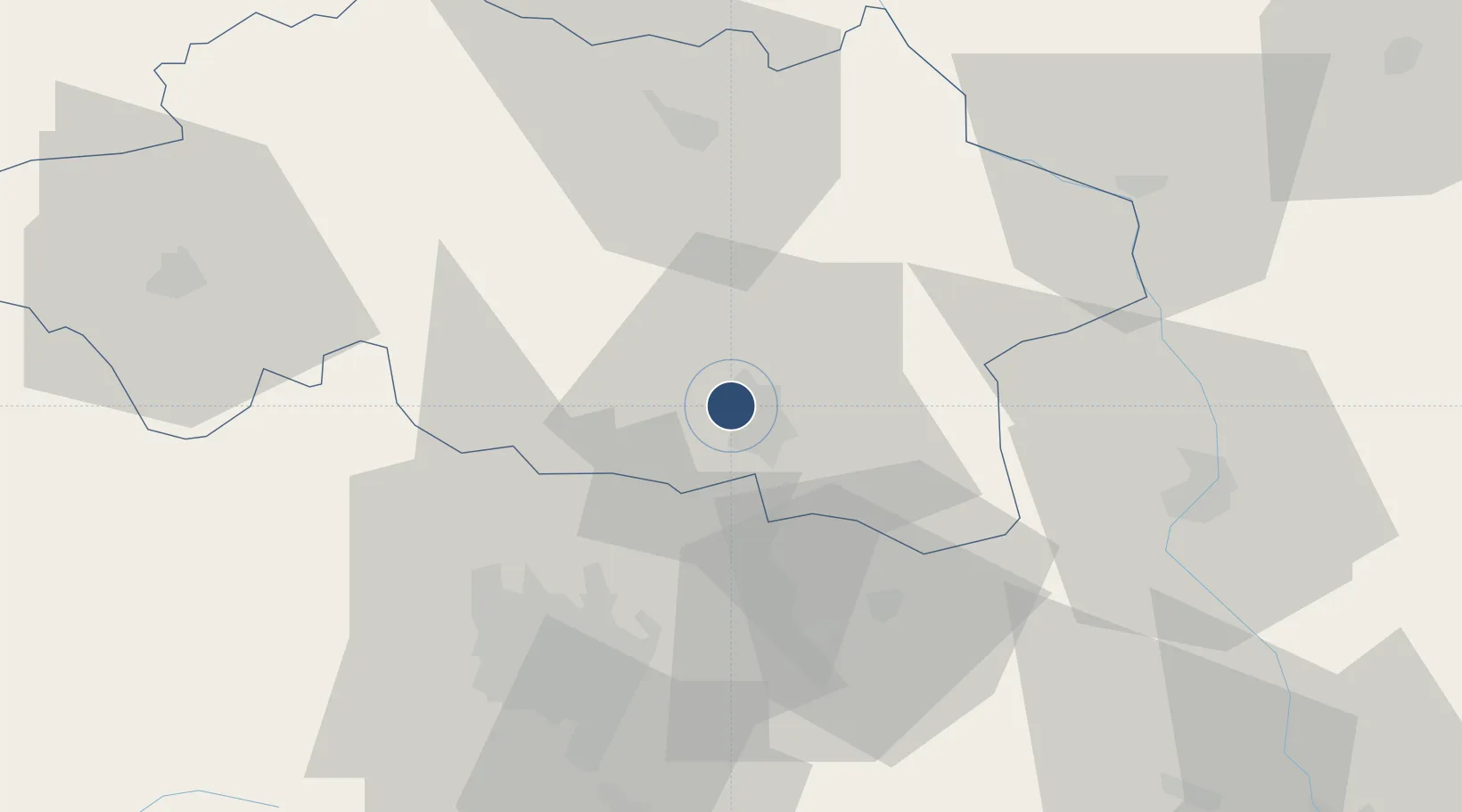
46.1697°, 3.4036°
7,218 ft
Longest runway
1
Runways
817 ft
Elevation

Runway & Layout

Vichy-Charmeil Airport runway & taxiway layout
Runway & taxiway layout — OpenStreetMap (ODbL) / OurAirports

Radio Frequencies

AFIS
121.4 MHz
VICHY INFO
OurAirports

Runways · 1

RunwayDimensions SurfaceTrue headingLit
01/19 7,218 × 148ft Asphalt 008°
OurAirports

Airport Specifications

IATA code
VHY
OurAirports
ICAO code
LFLV
OurAirports
Airport class
Medium airport
OurAirports
Scheduled service
No
OurAirports
Runway surface
Asphalt
OurAirports
Served city
Charmeil, Allier
OurAirports

Location

Location of LFLV
Natural Earth 10m (public domain) · Allier · LFLV · 46.17, 3.40GoogleOSMYandex

Nearby Logistics Neighbours

Airports
  1. 1Clermont-Ferrand Auvergne airport46 km
  2. 2Roanne-Renaison Airport48 km
  3. 3Saint-Yan Airport54 km
  4. 4Montluçon-Guéret Airport80 km
  5. 5Nevers-Fourchambault Airport95 km
Nearest neighbours — logibook spatial index (haversine) over the source coordinates
Cities
  1. 1Creuzier-le-Neuf4 km
  2. 2Vichy5 km
  3. 3Abrest8 km
  4. 4Orcet12 km
  5. 5Périgny14 km
Nearest neighbours — logibook spatial index (haversine) over the source coordinates
Ports
  1. 1Sete309 km
  2. 2Fos328 km
  3. 3Port Saint Louis Du Rhone329 km
  4. 4Ambes332 km
  5. 5Port-de-Bouc332 km
Nearest neighbours — logibook spatial index (haversine) over the source coordinates
Trade Zones
  1. 1ZFU Clermont-Ferrand49 km
  2. 2ZFU Saint-Etienne108 km
  3. 3ZFU Lyon 9e117 km
  4. 4ZFU Rillieux-la-Pape119 km
  5. 5ZFU Vénissieux124 km
Nearest neighbours — logibook spatial index (haversine) over the source coordinates
DatabookThe Record of Consolidated Knowledge
France beyond logistics?
Browse databook

All Sources

AirportsOurAirports
Public domain
Portsthe NGA World Port Index
Public domain (US gov)
LocationsUN/LOCODE
UN/LOCODE — free
Trade Zonesthe World Bank SEZ database
CC BY 4.0
Trade ZonesOpen Zone Map
CC BY
InfrastructureOpenStreetMap
ODbL 1.0
← France airports