Transport Functions
Multimodal
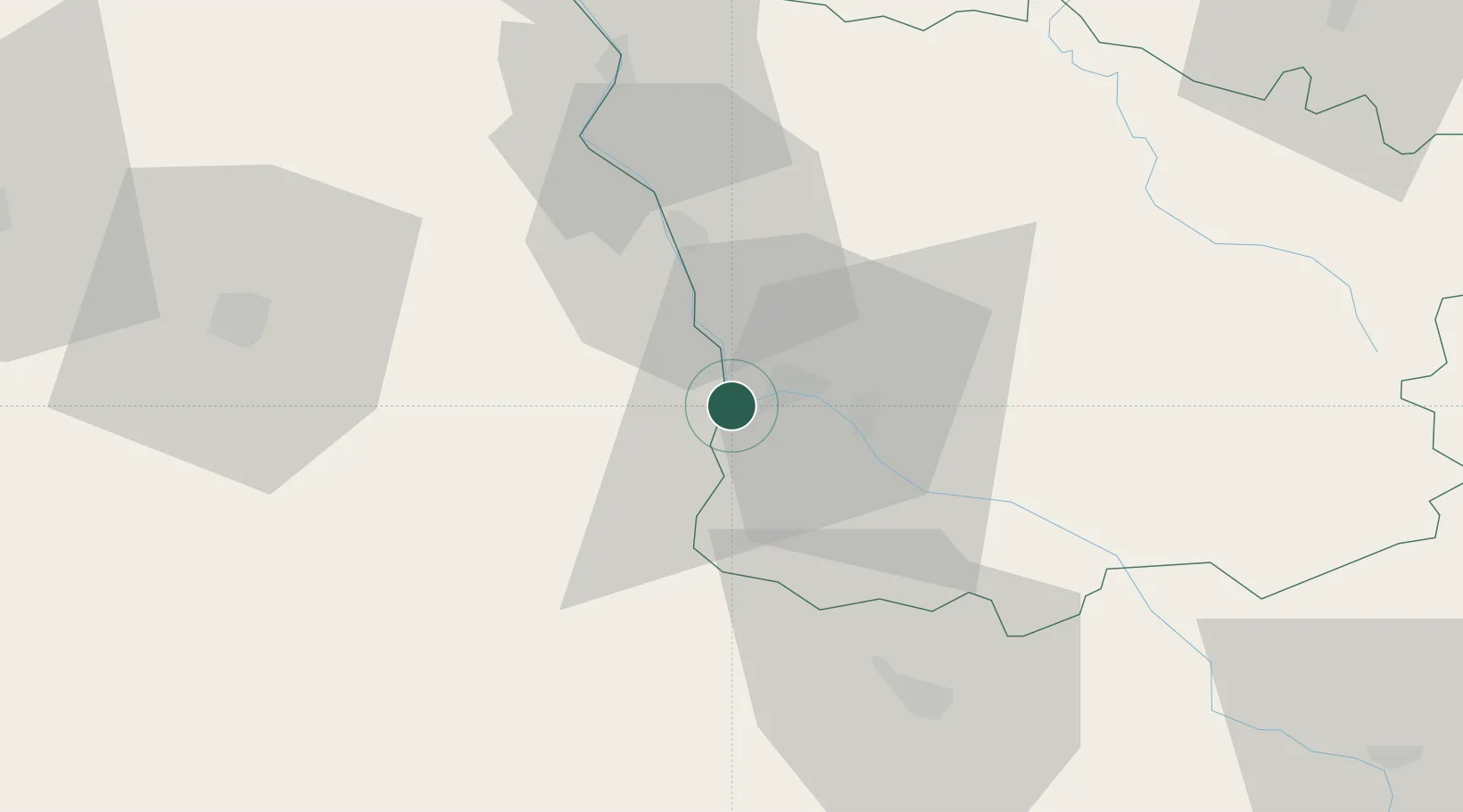
Hub Profile
Place type
Populated place
Region
Bourgogne
Population
3,245
Time zone
Europe/Paris
Elevation
209 m
Location
Nearby Logistics Neighbours
Cities
- 1Nevers6 km
- 2Pougues-les-Eaux13 km
- 3Saint-Léger-le-Petit18 km
- 4Tendron19 km
- 5Tendron22 km
Ports
- 1Port Of Rouen314 km
- 2Tonnay Charente326 km
- 3Rochefort330 km
- 4La Rochelle336 km
- 5La Pallice341 km
Airports
- 1Nevers-Fourchambault Airport5 km
- 2Avord (BA 702) Air Base36 km
- 3Bourges airport55 km
- 4Vichy-Charmeil Airport92 km
- 5Saint-Yan Airport94 km
Trade Zones
- 1ZFU Bourges59 km
- 2ZFU Clermont-Ferrand131 km
- 3ZFU Sens137 km
- 4ZFU Orléans137 km
- 5ZFU Chenôve148 km
DatabookThe Record of Consolidated Knowledge
France beyond logistics?