Transport Functions
Rail
Road
Hub Profile
Place type
Populated place
Region
Bourgogne
Population
2,500
Time zone
Europe/Paris
Elevation
201 m
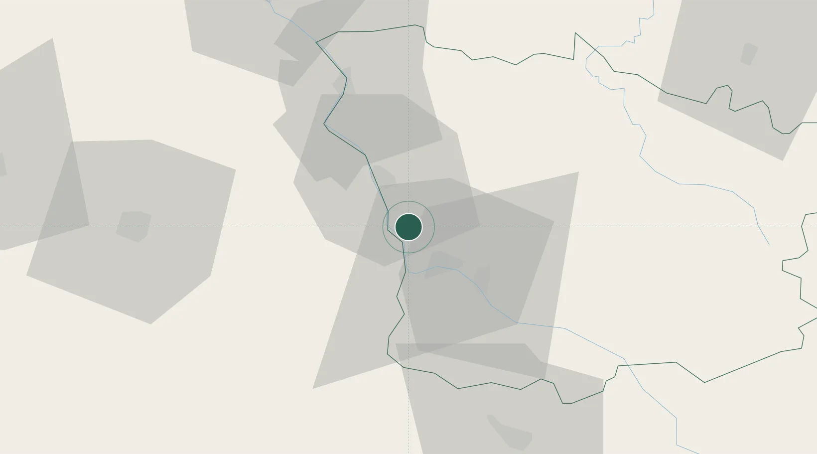
Location
Nearby Logistics Neighbours
Cities
- 1Saint-Léger-le-Petit7 km
- 2Nevers11 km
- 3Raveau11 km
- 4Marzy13 km
- 5Varennes-lès-Narcy17 km
Ports
- 1Port Of Rouen303 km
- 2Tonnay Charente331 km
- 3Rochefort334 km
- 4Honfleur335 km
- 5Deauville337 km
Airports
- 1Nevers-Fourchambault Airport9 km
- 2Avord (BA 702) Air Base34 km
- 3Bourges airport54 km
- 4Auxerre Branches airport91 km
- 5Saint-Yan Airport103 km
Trade Zones
- 1ZFU Bourges57 km
- 2ZFU Sens124 km
- 3ZFU Orléans128 km
- 4ZFU Clermont-Ferrand144 km
- 5ZFU Chenôve145 km
DatabookThe Record of Consolidated Knowledge
France beyond logistics?